Wingfoot Lake State Park
State Park · Ohio · Ohio Department of Natural Resources
- 1 named trails
- 565 acres
Wingfoot Lake State Park sits outside Akron near Mogadore, Ohio, covering 565 acres of land and water. Of that total, 121 acres are land and 444 acres are the lake itself. The Ohio Department of Natural Resources manages the park. The agency describes it as a place for a delightful day spent outdoors, with paddling, fishing, and miniature golf set against groves of tall trees and grassy expanses around the lake.
It suits visitors looking for an easygoing lake day close to a metro area rather than a backcountry destination: anglers working the shoreline or the accessible pier, paddlers and idle-speed boaters on the water, and families using the picnic shelters, playgrounds, and paved paths.
Plan your visit
Trails & hiking
1 named routes 2.13 mi of walkable ways mapped within 2 km
- 0.42 Storybook Trail
Know before you go
- Address
- 993 Goodyear Park Blvd., Mogadore, OH, 44260
- Phone
- (330) 628-4720
- Official site
- ohiodnr.gov
- Managed by
- Ohio Department of Natural Resources
- Hours
- 6am to 11pm daily. Visitors are permitted to actively engage in legitimate recreational activities outside these hours. If you have questions, call the park office.
Getting there
993 Goodyear Park Blvd., Mogadore, OH, 44260
Directions on Google Maps (opens in a new tab) →On the ground
The lake itself is the park's organizing feature. Boats are allowed on it only at idle, no-wake speed, and two launch ramps sit in the adjacent Wingfoot Lake Wildlife Area. An accessible fishing pier stands near the canteen, and anglers can also fish from the shoreline for bluegill and bass. The Storybook Trail, a fully accessible paved loop, passes a small pond, mature trees, and the lake, with a Free Little Library near its start; paved, accessible paths elsewhere in the park link parking areas to picnic shelters, playgrounds, and ball fields. Six shelters are available to reserve, including the Buckeye Shelter, which holds 65-70 people and has three grills and three electrical outlets, and the enclosed Dogwood Pavilion, which holds 145-150 people.
The ground beneath the park has its own story. The surrounding land lies in the hilly, rolling terrain of southwest Portage County, underlain by thick deposits of sand and gravel known as kames that built up in ancient stream channels as the last glacier retreated more than 14,000 years ago. The nearby Portage Lakes formed as huge chunks of ice broke from the retreating glacier and melted into depressions, creating kettle lakes. The area is also close to the Portage Path, an eight-mile land trail once lined with small lakes that connected the Cuyahoga and Tuscarawas river systems; Paleo-Indians are thought to have used it to follow migrating animals, possibly as far back as 6,000 BCE. From the early 1700s to the early 1800s, the Delaware, Oneida, Ottawa, and Wyandot peoples lived in the area around Wingfoot Lake.
Practical notes
Park hours run from 6am to 11pm daily, and visitors engaged in legitimate recreational activities may remain past that window. The park office can be reached at (330) 628-4720, and the park is located at 993 Goodyear Park Blvd. in Mogadore, Ohio.
Nearby parks


Parks of Ohio
88 parks mapped in Ohio
You're looking at Wingfoot Lake State Park — the gold marker.
Every dot is a park. Tap one to jump to it.
Browse all Ohio parks →Guides for the trip
All guides →-
 RV & Camper RV Black Tank Care: How Long to Wait Before Dumping and How to Keep It Clean 4 min read
 -
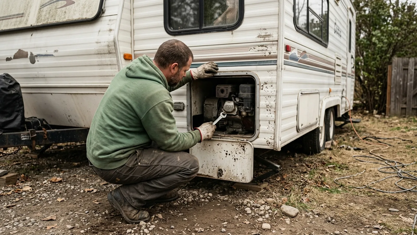 RV & Camper How Long Does an RV Generator Last? Runtime, Lifespan, and Maintenance 4 min read
 -
 RV & Camper How Long Do RV Tires Last? A Guide to Lifespan, Age, and Replacement 4 min read
 -
 RV & Camper How Long Do RV Tires Last? Lifespan, Warning Signs, and Care Tips 4 min read
Sources: State agency, OpenStreetMap contributors, Google Places · updated 2026-08-12