
Van Buren State Park
State Park · Ohio · Ohio Department of Natural Resources
- 4 named trails
- Camping
- 341 acres
Van Buren State Park is a 341-acre Ohio state park near Van Buren, managed by the Ohio Department of Natural Resources. The park's 296 acres of land and 45 acres of water sit within the till plains of northwest Ohio, and the agency's own description calls it a calm, peaceful retreat with camping, fishing, hiking, horseback riding, and picnicking opportunities.
The park suits visitors looking for a quiet, low-key stop rather than a destination built around a single dramatic feature. Its mix of woods and agricultural surroundings, combined with camping, fishing, hiking, horseback riding, and picnicking, points to a broad but modest set of uses for day-trippers and campers alike.
Plan your visit
Trails & hiking
4 named routes 12.84 mi of walkable ways mapped within 2 km
- 1.92 Pink Trail
- 1.82 Yellow Trail
- 1.37 Red Trail
- 1.15 White Trail
Camping
2 mapped camping locations
Camping
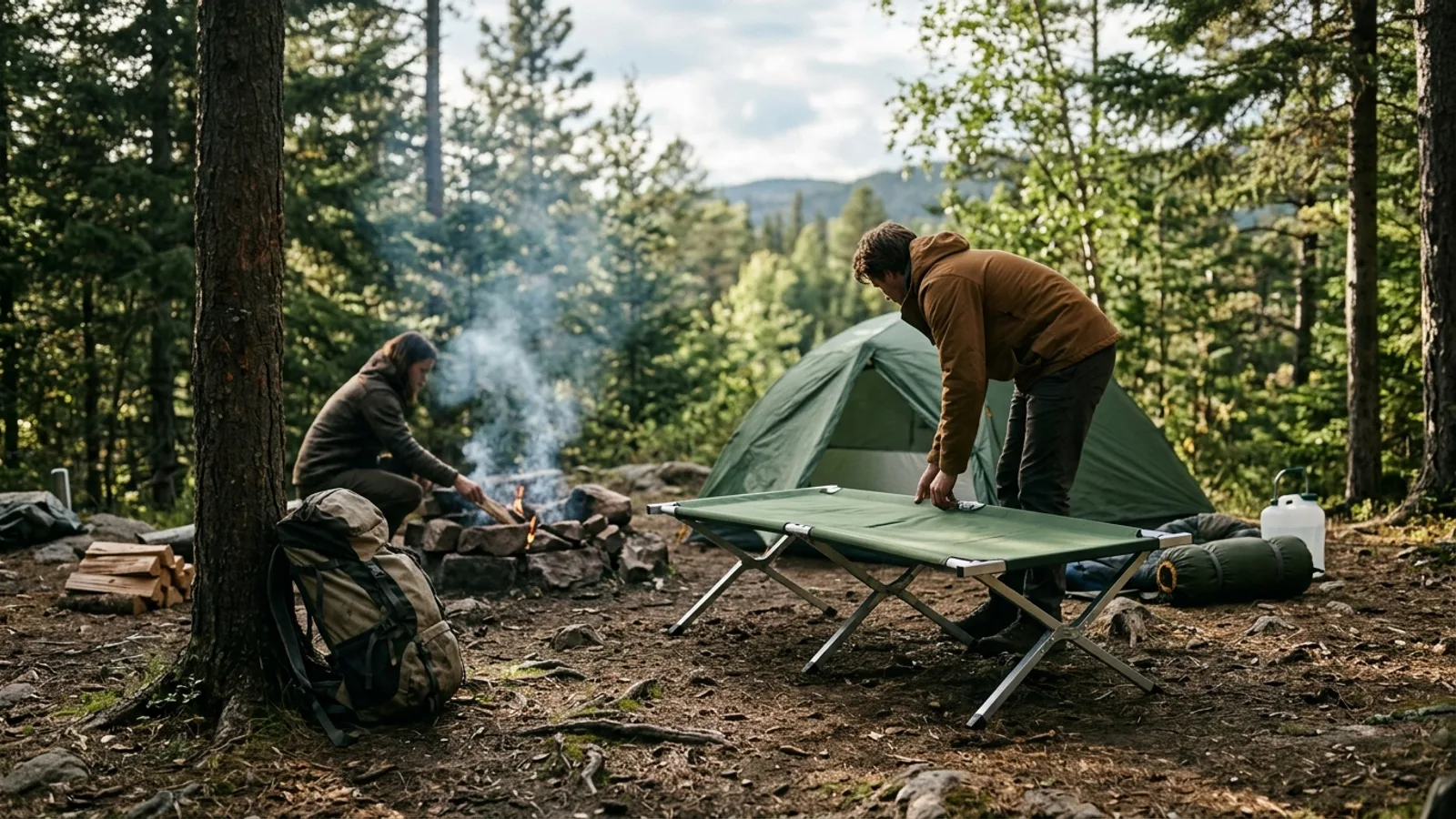
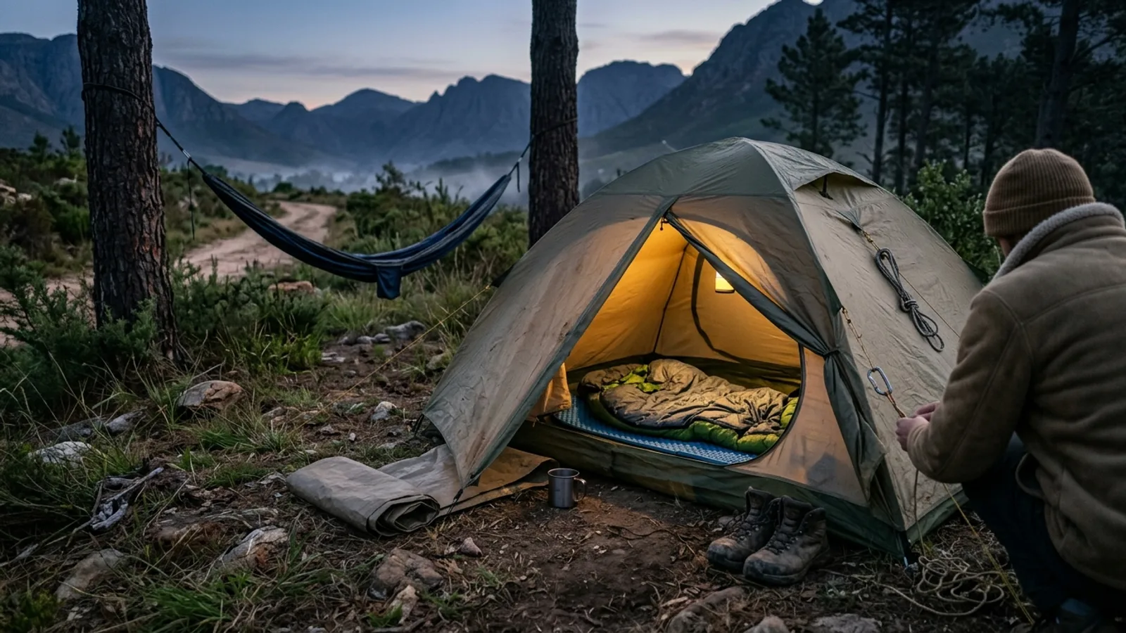
Van Buren State Park Campground is a peaceful, quiet loop. It offers 61 sites with 50-amp electricity and water -- several perfect for tent camping. Pets are permitted on all sites. Many sites are partially shaded.
Know before you go
- Address
- 12259 Township Road 218, Van Buren, OH, 45889
- Phone
- (419) 832-7662
- Official site
- ohiodnr.gov
- Managed by
- Ohio Department of Natural Resources
- Hours
- 6am to 11pm daily. Visitors are permitted to actively engage in legitimate recreational activities outside these hours. If you have questions, call the park office.
Getting there
12259 Township Road 218, Van Buren, OH, 45889
Directions on Google Maps (opens in a new tab) →On the ground
The area was originally inhabited by the Shawnee, according to the park's history, and the tribe's last stronghold before departing for lands west of the Mississippi River was located here after they were banished from their homeland in south-central Ohio. Native American artifacts and relics can still be found on what used to be Indian Island, in the northwest section of the park. Van Buren is located just north of Findlay, a town founded in 1821 whose slow development changed after natural gas was discovered in the 1880s, a find a German physician named Charles Osterlen had predicted lay beneath the town.
The park sits on till plains, land named for the glacial debris, or till, left behind by the retreating Wisconsinan glacier over preglacial hills and valleys. Beneath this glacial cover lies sedimentary bedrock that in this region is mostly limestone with a little shale, much of it the magnesium-bearing form called dolomite. Before settlement, the area was mostly woodland. Named routes in the park include the Pink Trail, Yellow Trail, Red Trail, and White Trail, which also serve as bridle trails through the property.
Photos


Practical notes
Park hours run from 6am to 11pm daily, though visitors are permitted to actively engage in legitimate recreational activities outside these hours; questions can be directed to the park office at (419) 832-7662. Van Buren State Park Campground offers 61 sites with 50-amp electricity and water, several suited to tent camping, with pets permitted on all sites and many sites partially shaded. Three shelterhouses can be reserved online or by calling (866) 644-6727.
Nearby parks


Parks of Ohio
88 parks mapped in Ohio
You're looking at Van Buren State Park — the gold marker.
Every dot is a park. Tap one to jump to it.
Browse all Ohio parks →Guides for the trip
All guides →


Sources: State agency, Wikimedia Commons / editorial, OpenStreetMap contributors, USGS PAD-US, Google Places · updated 2026-09-12