
Quail Hollow State Park
State Park · Ohio · Ohio Department of Natural Resources
- 13 named trails
- Camping
Quail Hollow State Park is a 701-acre landscape of rolling meadows, marshes, and pine and deciduous woods surrounding a 40-room manor, according to the park's own description. It sits in Hartville, Ohio, managed by the Ohio Department of Natural Resources, and combines a historic estate with a network of short, named nature trails through varied habitat. The mix suits visitors who want an easy walk paired with some local and architectural history rather than a rugged backcountry outing.
The agency describes the park as offering scenic woodland trails, gardens and the historic house as a set of natural and cultural experiences. That framing fits the ground here: interpretive trails are named for the habitats they cross, and the manor at the center of the property anchors the cultural side of a visit.
Plan your visit
Trails & hiking
13 named routes 15.16 mi of walkable ways mapped within 2 km
- 2.59 Mountain Bike Trail
- 1.71 Green Trail
- 1.45 Red Trail
- 1.10 Buckeye Trail
- 0.92 Meadow Lands
- 0.81 Yellow Trail
- 0.77 Hiking Path
- 0.46 Woodland Swamp
Camping
1 mapped camping locations
Camping
Site types & reservations: see the official site.
Know before you go
- Address
- 13480 Congress Lake Avenue, Hartville, OH, 44632
- Phone
- (330) 409-8096
- Official site
- ohiodnr.gov
- Managed by
- Ohio Department of Natural Resources
Getting there
13480 Congress Lake Avenue, Hartville, OH, 44632
Directions on Google Maps (opens in a new tab) →On the ground
The park's land history runs from early settlement to a later estate. Conrad Brumbaugh built one of the first homes in the area around 1820 on what became this property. Beginning in 1914, Harry Bartlett Stewart started acquiring the Brumbaugh homestead and adjoining land, eventually assembling 720 acres. The tract next to the Brumbaugh homestead was called the Minnie Taylor Farm, after Stewart's wife, and its farm house dates to 1838. The Harry Bartlett Stewart Property, at the center of the park, is listed on the National Register of Historic Places.
The Green Trail, Red Trail, and Buckeye Trail lead through the park's woods and wetlands, while shorter named paths such as Woodland Swamp, Peatland, and Deciduous Forest trace the specific habitats they pass through. A Mountain Bike Trail and the Nature for All route are also mapped near the park. The rolling fields, woodlands, and wetlands reflect glaciation that occurred over 14,000 years ago, which shaped local drainage, topography, and soil composition and left behind kettle lakes where blocks of ice melted into depressions. Most of these are small, old, and more accurately described as bogs or marshes; nearby Congress Lake is one of Ohio's natural lakes. Anglers can fish the 2-acre Shady Lane Pond, where Ohio regulations require a valid fishing license for those 16 and older.
Practical notes
The park can be reached at (330) 409-8096, and its address is 13480 Congress Lake Avenue, Hartville, OH, 44632.
Nearby parks


Parks of Ohio
88 parks mapped in Ohio
You're looking at Quail Hollow State Park — the gold marker.
Every dot is a park. Tap one to jump to it.
Browse all Ohio parks →Guides for the trip
All guides →-
 Weather & Seasons Cold Weather Camping: How Cold Is Too Cold, and How to Stay Safe 5 min read
 -
 RV & Camper How to Get More Cooling Power from Your RV Air Conditioner 4 min read
 -
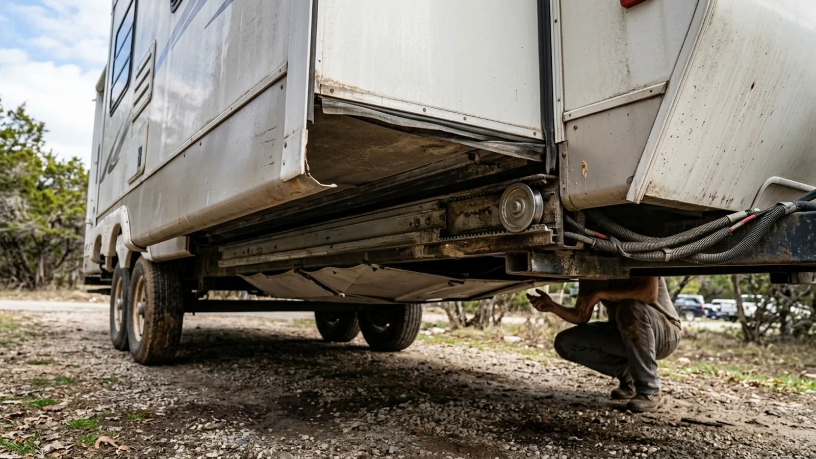 RV & Camper How RV Slide Outs Work: Mechanisms, Operation, and Maintenance 4 min read
 -
 RV & Camper How RV Generators Work: Power, Fuel, and Maintenance Explained 5 min read
Sources: State agency, Wikimedia Commons / editorial, OpenStreetMap contributors · updated 2026-09-12