
Independence Dam State Park
State Park · Ohio · Ohio Department of Natural Resources
- 2 named trails
- Camping
- 525 acres
Independence Dam State Park covers 525 acres along the Maumee River near Defiance, Ohio. The Ohio Department of Natural Resources manages the park. The park is built around the Maumee River, with the dam and spillway that give the park its name standing near the campground and shelter areas. It suits paddlers, anglers, and hikers drawn to a stretch of river that once ran through the Great Black Swamp before that vast hardwood forest was cleared.
Most visits here center on the water: unlimited horsepower boating is permitted on the river, with a four-lane launch ramp on the west end and hand launches on the east end and in the campground. Anglers fish the Maumee River for northern pike, smallmouth bass, crappie, catfish, and an occasional walleye. Camping is limited to primitive tent sites, offered seasonally from April 1 to October 31, with reservations required, making this a stop more for day-trippers and river users than for RV campers.
Plan your visit
Trails & hiking
2 named routes 4.66 mi of walkable ways mapped within 2 km
- 3.75 Towpath
- 0.52 Buckeye Trail
Camping
2 mapped camping locations
Camping
Independence Dam State Park Campground offers Primitive sites seasonally (Apr 1 - Oct 31) for tent camping only. Reservations are required; they can be made online or by calling (866) 644-6727.
Know before you go
- Address
- 27722 County Road 424, Defiance, OH, 43512
- Phone
- (419) 237-2593
- Official site
- ohiodnr.gov
- Managed by
- Ohio Department of Natural Resources
- Hours
- 6am to 11pm daily. Visitors are permitted to actively engage in legitimate recreational activities outside these hours. If you have questions, call the park office.
Getting there
27722 County Road 424, Defiance, OH, 43512
Directions on Google Maps (opens in a new tab) →On the ground
The Towpath trail follows the old Miami and Erie Canal route for 3.75 miles between the canal and the river through hardwood forest, tracing the same corridor boats once used to move goods through the region. The Buckeye Trail, part of the North Country Trail at this point, crosses the park for 0.52 miles, linking the park into a much longer statewide route. Historical markers along the way include the 1812 OH Historical Marker and the Lock #13 - Miami-Erie Canal Ohio Historical Marker, recalling the canal era that shaped this stretch of the Maumee. The confluence of the Maumee and Auglaize rivers upstream was a significant factor in the development of northwestern Ohio, and the area was long used for hunting and fishing by the Hopewell, Erie, Iroquois, Miami, Shawnee, Wyandot, Delaware, and Ottawa peoples. The Ottawa chief Pontiac is believed to have been born near the junction of the two rivers in 1712.
For a shorter walk, the Storybook Trail runs 0.5 mile and includes a Free Little Library at its start, with the story displayed along the trail changing throughout the year. Picnic tables line the tree-lined bank of the Maumee River, with grills and restrooms provided, and two reservable shelterhouses give groups a base near the water: the CCC Shelter, with a capacity of 75 and a stone fireplace near the dam, and the Clevenger shelter, with a capacity of 50 in a large grassy area along the river.
Photos


Practical notes
Park hours run from 6am to 11pm daily, and the park office can be reached at (419) 237-2593.
Nearby parks


Parks of Ohio
88 parks mapped in Ohio
You're looking at Independence Dam State Park — the gold marker.
Every dot is a park. Tap one to jump to it.
Browse all Ohio parks →Guides for the trip
All guides →-
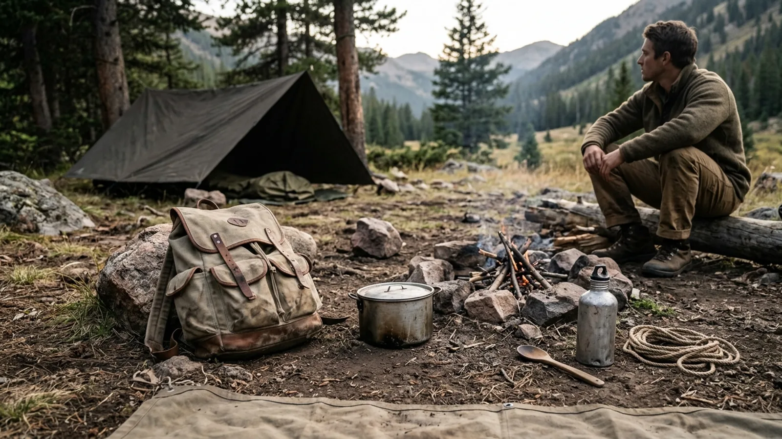 Gear What Is Primitive Camping? A Practical Guide to Backcountry Basics 5 min read
 -
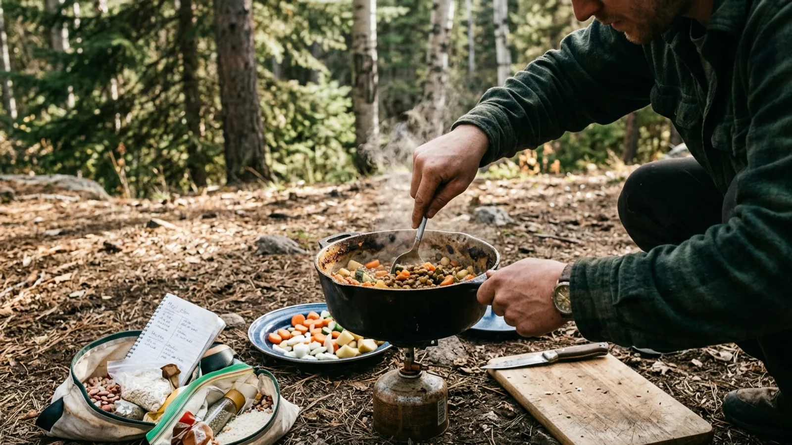 Camp Cooking Camping Food Planning: What to Pack and How to Cook It 5 min read
 -
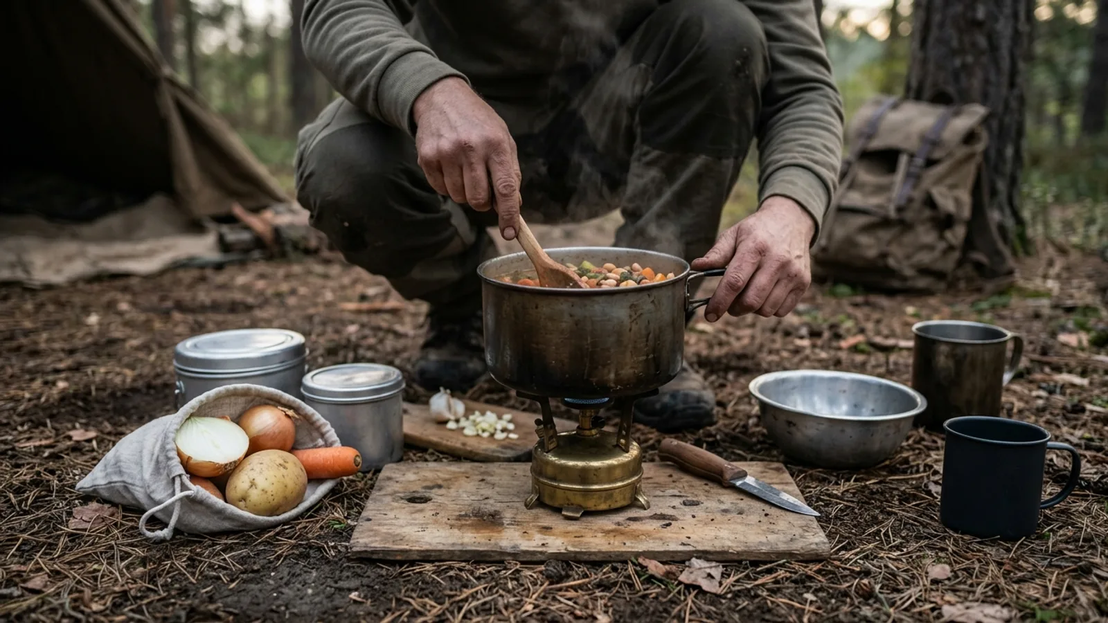 Camp Cooking What Food to Pack for a Camping Trip: Breakfast, Lunch, Dinner, and Snacks 4 min read
 -
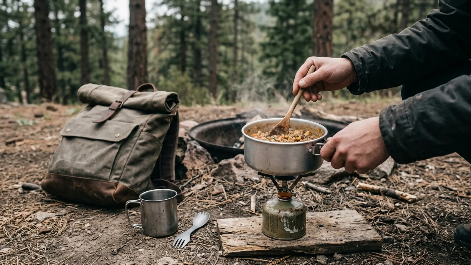 Camp Cooking No-Fridge Camping Food: What Actually Works 3 min read
Sources: State agency, Wikimedia Commons / editorial, OpenStreetMap contributors, USGS PAD-US, Google Places · updated 2026-09-12