
Alum Creek State Park
State Park · Ohio · Ohio Department of Natural Resources
- 4 named trails
- Camping
- 8,017 acres
Alum Creek State Park covers 8,017 acres near Delaware, Ohio, including 4,630 acres of land and 3,387 acres of water. The Ohio Department of Natural Resources describes it as a popular boating, camping and hunting destination near Ohio's capital city. The park is managed by the Ohio Department of Natural Resources. It suits boaters, campers, hunters, anglers, and hikers looking for a large reservoir close to Columbus.
Camping options are broad: Alum Creek State Park Campground offers Full Hookup and Electric sites, all pet-friendly, along with a Camper Cabin and four Sherman Cabins where pets are not permitted. An Equestrian Camp with primitive sites sits on the northern portion of the park, and a Group Camp lies on the southern end. Together with the lake itself, these facilities make the park a base for extended stays rather than a quick stop.
Plan your visit
Trails & hiking
4 named routes 20.48 mi of walkable ways mapped within 2 km
- 5.30 Alum Creek Phase II
- 5.07 Park Office Hollenback Trail
- 3.69 Alum Creek Multipurpose Trail
- 1.30 Rocks and Roots North Loop Trail
Camping
11 mapped camping locations
Camping
Alum Creek State Park Campground offers a variety of Full Hookup and Electric sites (all pet-friendly) in both sunny and shady areas; some premium sites overlook the lake. A Camper Cabin and four Sherman Cabins are avail…
Know before you go
- Address
- 3615 S Old State Road, Delaware, OH, 43015
- Phone
- (740) 548-4631
- Official site
- ohiodnr.gov
- Managed by
- Ohio Department of Natural Resources
- Hours
- Sunrise to Sunset. Visitors are permitted to actively engage in legitimate recreational activities outside these hours. If you have questions, call the park office.
Getting there
3615 S Old State Road, Delaware, OH, 43015
Directions on Google Maps (opens in a new tab) →On the ground
Alum Creek starts in Morrow County and flows south for 58 miles before joining Big Walnut Creek in Franklin County. People have used this landscape a long time: Paleoindians traveled through the area more than 10,000 years ago, and the Adena culture, known as mound builders, lived in the Ohio Valley from around 800 B.C. to 100 A.D. The Adena people built at least seven mounds on the land that is now Alum Creek State Park in Delaware County. In 1969, Ohio Historical Society archeologist Raymond Baby excavated six of the ancient mounds before the area was flooded by the new Alum Creek Reservoir.
The modern park is shaped as much by geology as by history. Cliffs of Ohio shale, carved as Alum Creek and other streams cut through the bedrock, appear in several areas of the park, their dark color coming from a mixture of carbonized plant material and mud. The park lists Dam/Spillway as a historic feature and Seasonal Flooding as a natural feature. On land, the Park Office Hollenback Trail and the Alum Creek Multipurpose Trail lead walkers along the lakeshore and connect to the park's other named routes, and the Rocks and Roots North Loop Trail offers a shorter, more rugged option through the forest. Ways mapped near the park total 20.48 miles across 47 segments, surfaced mostly in concrete, grass, and dirt.
Photos


Practical notes
The park office can be reached at (740) 548-4631. Park hours run sunrise to sunset, though visitors engaged in legitimate recreational activities may stay outside those hours; questions should go to the park office. Campground reservations require calling (866) 644-6727 or booking online. The park is located at 3615 S Old State Road, Delaware, OH, 43015.
Nearby parks


Parks of Ohio
88 parks mapped in Ohio
You're looking at Alum Creek State Park — the gold marker.
Every dot is a park. Tap one to jump to it.
Browse all Ohio parks →Guides for the trip
All guides →-
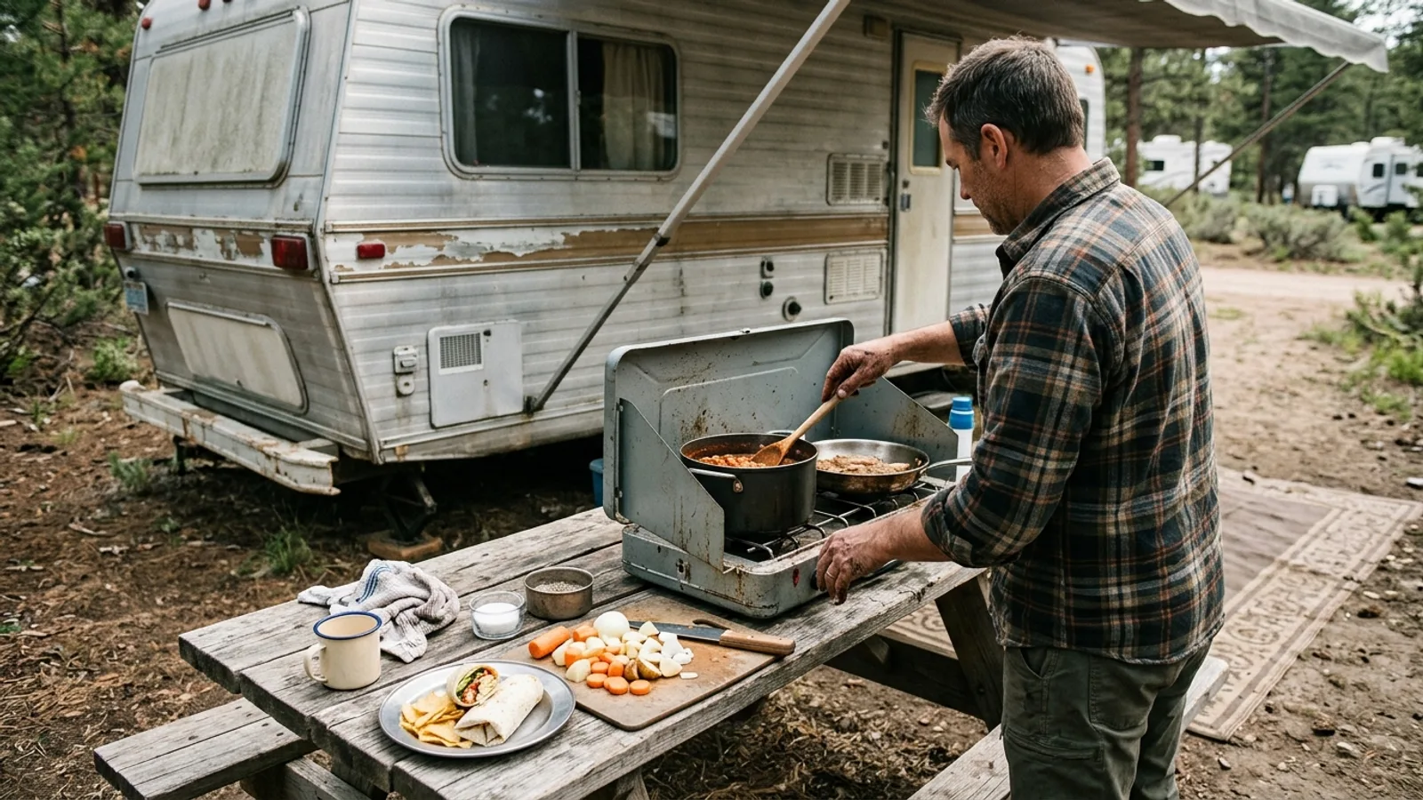 RV & Camper Easy Camping Meal Ideas: What to Eat When Camping 4 min read
 -
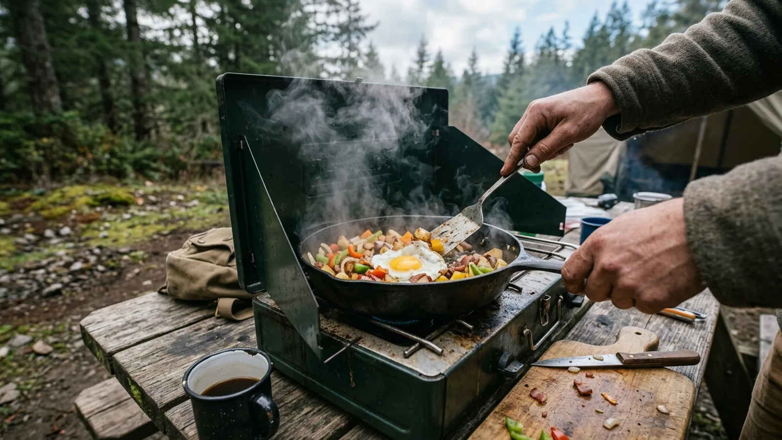 Camp Cooking What to Eat While Camping: A Practical Meal Guide 5 min read
 -
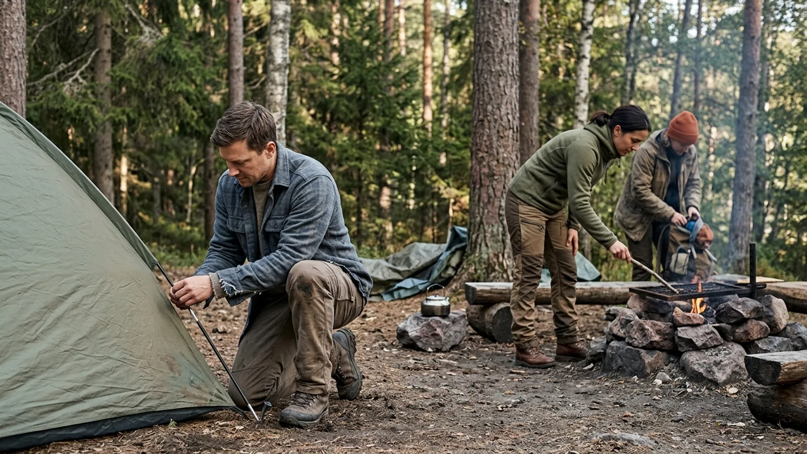 Camping Basics What to Wear Camping: A Season-by-Season Clothing Guide 3 min read
 -
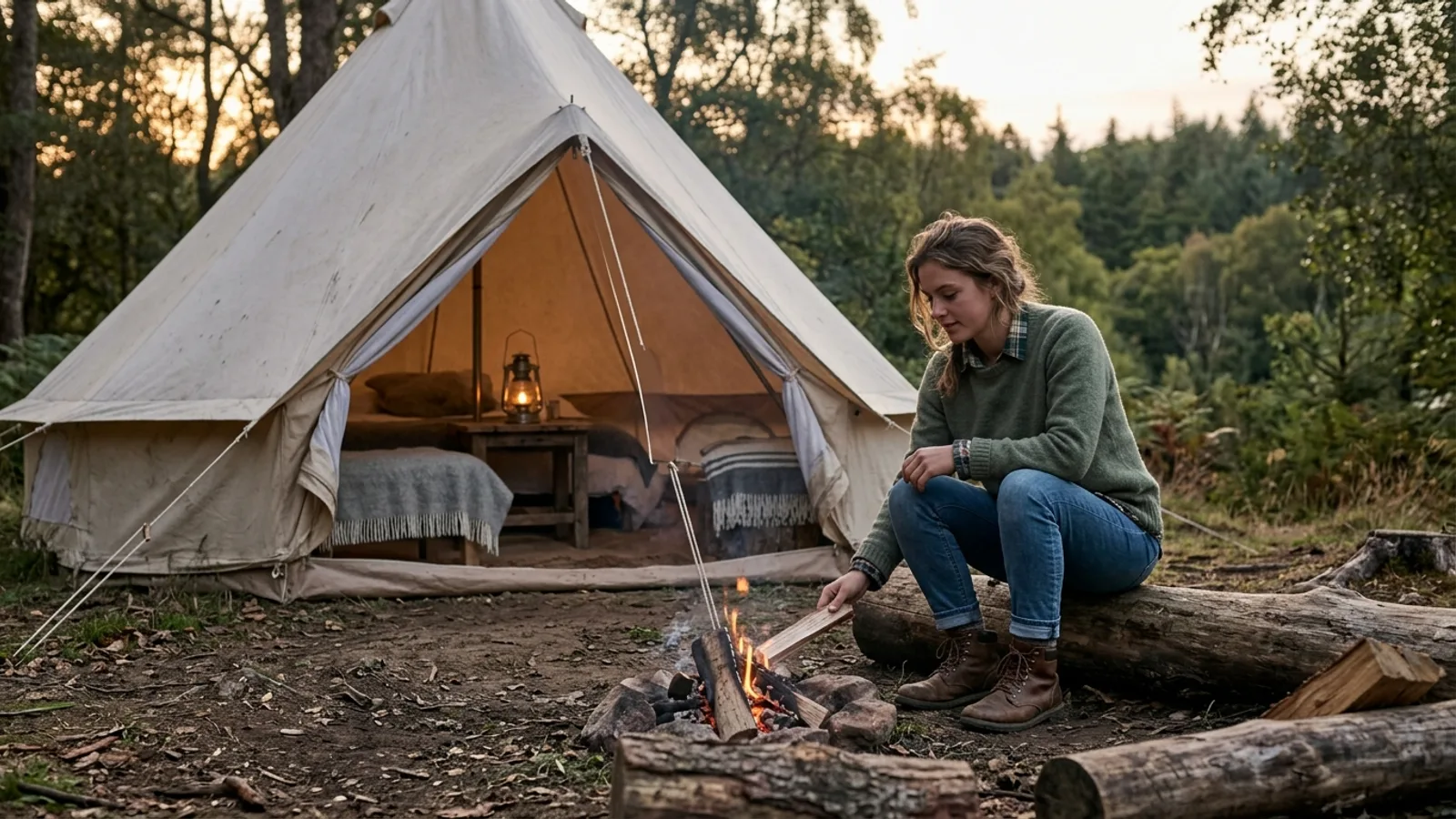 Glamping What to Wear Glamping: A Practical Guide to Comfort and Style 3 min read
Sources: State agency, Wikimedia Commons / editorial, OpenStreetMap contributors, USGS PAD-US · updated 2026-09-12