![Big Muskie's Bucket, Miner's Memorial Park in [[w:Jesse Owens State Park|]], Morgan County, Ohio](https://upload.wikimedia.org/wikipedia/commons/2/22/Big_Muskie%27s_Bucket_%287716920152%29.jpg?utm_source=commons.wikimedia.org&utm_campaign=imageinfo&utm_content=original)
Jesse Owens State Park
State Park · Ohio · Ohio Department of Natural Resources
- 1 named trails
- Camping
- 4,836 acres
Jesse Owens State Park covers 4836.4 acres in McConnelsville, Ohio, managed by the Ohio Department of Natural Resources. Of that total, 4628.9 acres are land and 207.5 acres are water. The Ohio Department of Natural Resources describes it as a success story in environmental stewardship, conservation and reclaiming land for outdoor recreation, and its identity is inseparable from that history: this is reclaimed strip-mine country turned over to public use.
The park suits visitors drawn to low-key, low-cost outdoor recreation across a large landscape rather than a single marquee attraction — hunters, anglers, campers, and hikers working the Straker Ridge Trail or the wider network of unpaved routes. It is adjacent to and surrounded by Jesse Owens Wildlife Area and Appalachian Hills Wildlife Area, so the recreational footprint extends well past the park boundary itself.
Plan your visit
Trails & hiking
1 named routes 18.22 mi of walkable ways mapped within 2 km
- 9.21 Straker Ridge Trail
Camping
27 mapped camping locations
Camping
Site types & reservations: see the official site.
Know before you go
- Address
- 4470 E. State Route 78, McConnelsville, OH, 43756
- Phone
- (740) 558-6040
- Official site
- ohiodnr.gov
- Managed by
- Ohio Department of Natural Resources
- Hours
- 6am to 11pm daily. Visitors are permitted to actively engage in legitimate recreational activities outside these hours. If you have questions, call the park office.
Getting there
4470 E. State Route 78, McConnelsville, OH, 43756
Directions on Google Maps (opens in a new tab) →On the ground
The park grew out of a 1961 cooperative agreement between the Ohio Power Company, now AEP, and the Ohio Department of Natural Resources, which opened reclaimed mined lands to public access. As more land was mined and reclaimed it was added to the agreement, eventually creating nearly 60,000 acres known as the ReCreation Lands, open for free public recreation. In 1998 ODNR recognized AEP's ReCreation Land as the largest single outdoor recreation facility in Ohio. In 2018, ODNR's divisions of Wildlife and Parks & Watercraft began purchasing large tracts of this land, folding more of it into public ownership.
The Straker Ridge Trail runs 9.21 miles through the park, the longest named route on the ground. Beyond that route, mapped ways near the park total 18.22 miles across three segments, mostly unpaved, giving hikers and horseback riders room to link up longer outings. Camping is centered on the Big Muskie Campground, a full-service, year-round facility with full hookups and a camp store, along with four no-fee rustic camping areas that operate by self-registration. The park's lake and the ponds and small lakes across the surrounding Jesse Owens State Wildlife Area are open to small boats and paddlecraft, with a 9.9 horsepower limit on all lakes. Those same ponds, along with waters in the wildlife area and adjacent ReCreation Lands, are stocked with bass, bluegills, red-ear sunfish, and channel catfish, and a valid Ohio fishing license is required for anglers 16 and older. Hunters can pursue white-tailed deer, squirrel, rabbit, wild turkey and waterfowl in season, with a valid Ohio hunting license required, and the park also has an archery range for target practice.
Photos
![Big Muskie's Bucket, Miner's Memorial Park in [[w:Jesse Owens State Park|]], Morgan County, Ohio](https://upload.wikimedia.org/wikipedia/commons/9/9a/Caitlin_in_Big_Muskie%27s_Bucket_%287716920752%29.jpg?utm_source=commons.wikimedia.org&utm_campaign=imageinfo&utm_content=original)
![Big Muskie's Bucket, Miner's Memorial Park in [[w:Jesse Owens State Park|]], Morgan County, Ohio](https://upload.wikimedia.org/wikipedia/commons/6/64/Rebecca_%26_Caitlin_in_Big_Muskie%27s_Bucket_%287716921394%29.jpg?utm_source=commons.wikimedia.org&utm_campaign=imageinfo&utm_content=original)
![Big Muskie's Bucket, Miner's Memorial Park in [[w:Jesse Owens State Park|]], Morgan County, Ohio](https://upload.wikimedia.org/wikipedia/commons/5/56/Big_Muskie%27s_Chain_%287716922488%29.jpg?utm_source=commons.wikimedia.org&utm_campaign=imageinfo&utm_content=original)


Practical notes
Park hours run 6am to 11pm daily, and visitors engaged in legitimate recreational activities are permitted outside that window; questions can be directed to the park office at (740) 558-6040. The park is located at 4470 E. State Route 78, McConnelsville, OH, 43756.
Nearby parks
![Big Muskie's Bucket, Miner's Memorial Park in [[w:Jesse Owens State Park|]], Morgan County, Ohio](https://cdn.epicdirectories.com/listings/022c015f-5071-4691-bf8d-3cf77a3577c9/3f7b93d5-85a0-46e8-92cb-146ab7089d4c/card-0ddc3d5241.webp)


.jpg)
.jpg)
.jpg)
.JPG)
.JPG)
Parks of Ohio
88 parks mapped in Ohio
You're looking at Jesse Owens State Park — the gold marker.
Every dot is a park. Tap one to jump to it.
Browse all Ohio parks →Guides for the trip
All guides →-
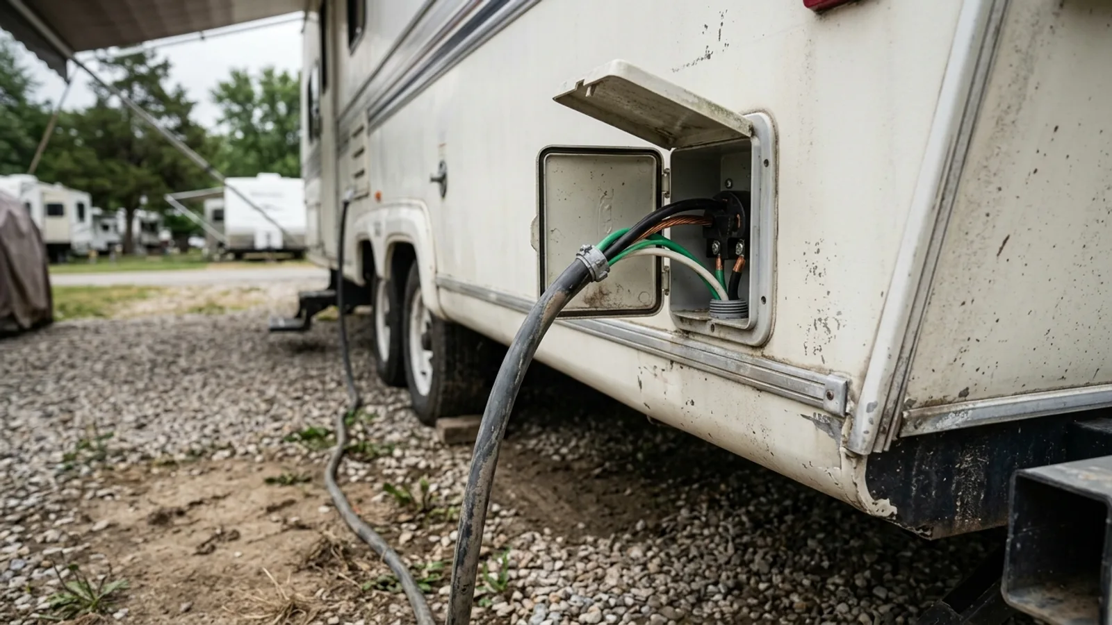 RV & Camper 30 Amp RV Outlet Wire Size: A Practical Guide 4 min read
 -
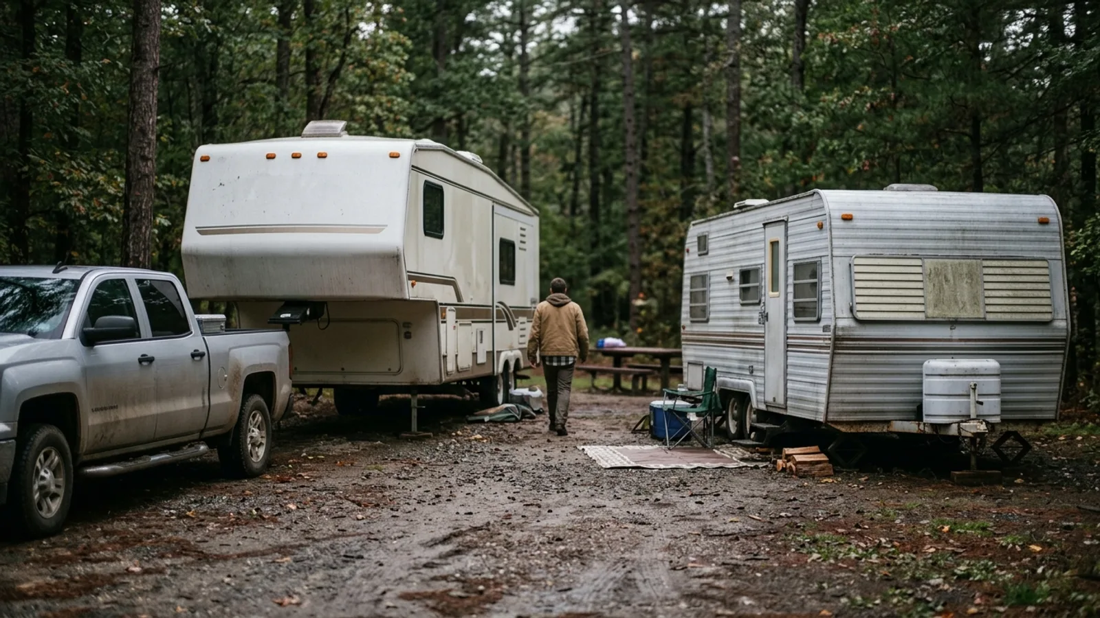 RV & Camper Fifth Wheel vs. Travel Trailer: How to Choose the Right Towable RV 5 min read
 -
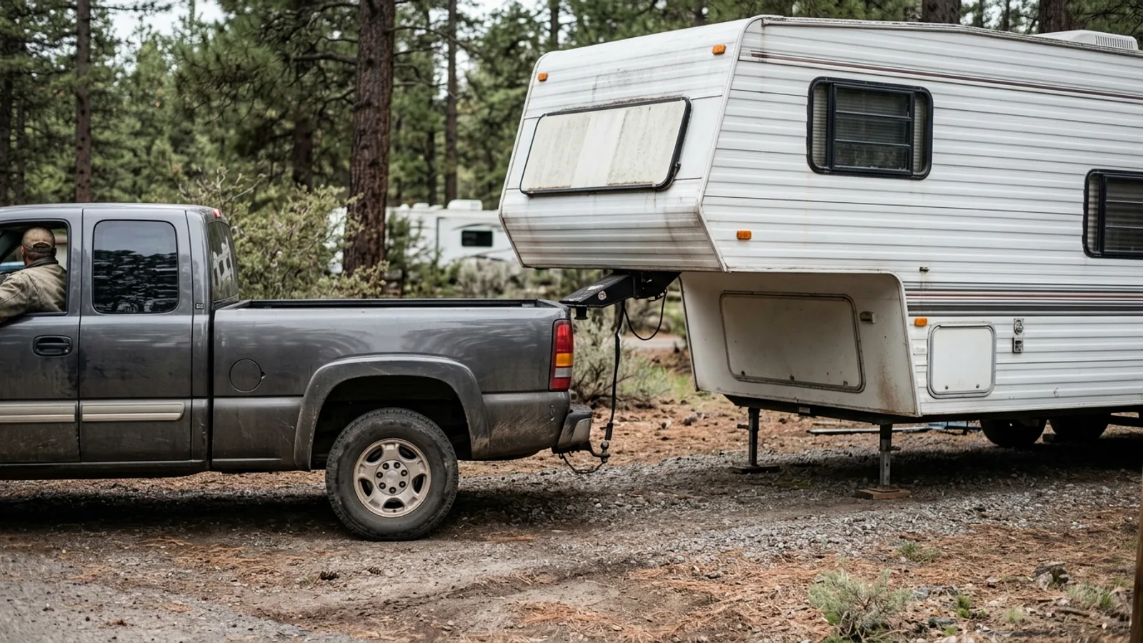 RV & Camper How to Choose the Right Truck for Towing a Fifth Wheel 5 min read
 -
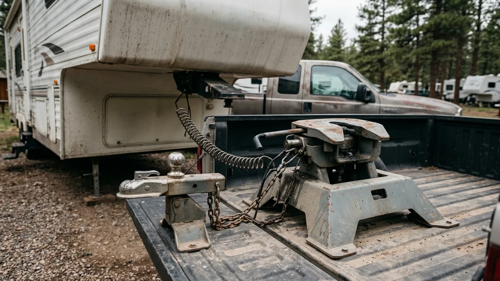 RV & Camper Gooseneck vs. Fifth Wheel Hitches: How They Differ and Which to Choose 4 min read
Sources: State agency, Wikimedia Commons / editorial, OpenStreetMap contributors, Google Places · updated 2026-09-12