
Kelleys Island State Park
State Park · Ohio · Ohio Department of Natural Resources
- 8 named trails
- Camping
- 677 acres
Kelleys Island State Park is a 677-acre park located on the northern shores of Kelleys Island, known as Lake Erie's Emerald Isle. The park is entirely land, with 0 acres of water acreage, and is managed by the Ohio Department of Natural Resources. It suits visitors interested in geology and island history as much as those looking for a lakeside base for hiking or camping, since the park combines glacial rock formations with a long human record stretching back to prehistoric mounds and earthworks.
Ancient civilizations left evidence of their presence in several prehistoric mounds and earthworks on the island. The island's past includes Ottawa and Huron (Wyandot) inhabitants before the 19th century and occasional visits by European explorers. It was known as Cunningham's Island in the early 1800s, named for a trader who left as tensions rose during the War of 1812; afterward a small timber operation supplied fuel for the steamer "Walk on the Water," Lake Erie's first.
Plan your visit
Trails & hiking
8 named routes 9.37 mi of walkable ways mapped within 2 km
- 1.33 Quarry Rim Trail
- 1.09 Erie Trail
- 1.02 North Shore Loop Trail
- 0.56 Boardwalk
- 0.30 Deer Lane
- 0.25 Pheasant Run
- 0.21 Cedar Trail
- 0.20 Fire Lane
Camping
7 mapped camping locations
Camping
Site types & reservations: see the official site.
Know before you go
- Address
- 920 Division St, Kelleys Island, OH, 43438
- Phone
- (419) 746-2546
- Official site
- ohiodnr.gov
- Managed by
- Ohio Department of Natural Resources
- Hours
- Sunrise to Sunset. Visitors are permitted to actively engage in legitimate recreational activities outside these hours. If you have questions, call the park office.
Getting there
920 Division St, Kelleys Island, OH, 43438
Directions on Google Maps (opens in a new tab) →On the ground
The park's defining feature is its bedrock. Glaciers advancing from Canada gouged and scoured the land before retreating to form the Great Lakes, and the evidence remains in grooves and striations across the island's limestone. A historic quarrying operation exposed a large tract of these Glacial Grooves, measuring 15 feet deep and 35 feet wide, now a centerpiece for visitors tracing the island's geologic history. Nearby, petroglyphs carved into a limestone boulder known as Inscription Rock are believed to date to the 1600s or earlier, evidence of the same prehistoric presence reflected in several mounds and earthworks elsewhere on the island. Historic structures scattered through the park, including the Historic Dynamite Shack, a Seismograph, and the Stone Crusher Building, along with a Pollinator Field, mark the site's quarrying-era past.
Walking routes near the park total 9.37 miles across 109 mapped segments, over surfaces that include dirt, gravel, rock, concrete, and paving stones. Among named routes, the Quarry Rim Trail is the longest at 1.33 miles, followed by the Erie Trail at 1.09 miles and the North Shore Loop Trail at 1.02 miles. Shorter paths round out the network: the Boardwalk at 0.56 miles, Deer Lane at 0.3 miles, Pheasant Run at 0.25 miles, Cedar Trail at 0.21 miles, Fire Lane at 0.2 miles, Nature Walk at 0.13 miles, and an Accessible Path to Bridge Overlook & South Side of Grooves at 0.07 miles.
Photos


Practical notes
Park hours run sunrise to sunset; visitors may continue legitimate recreational activities outside those hours, and questions can be directed to the park office at (419) 746-2546.
Nearby parks


Parks of Ohio
88 parks mapped in Ohio
You're looking at Kelleys Island State Park — the gold marker.
Every dot is a park. Tap one to jump to it.
Browse all Ohio parks →Guides for the trip
All guides →-
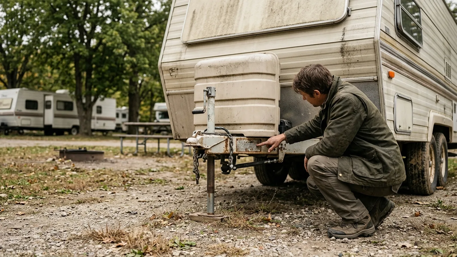 RV & Camper Camper Dry Weight Explained: What It Means for Hitch Weight and Towing 4 min read
 -
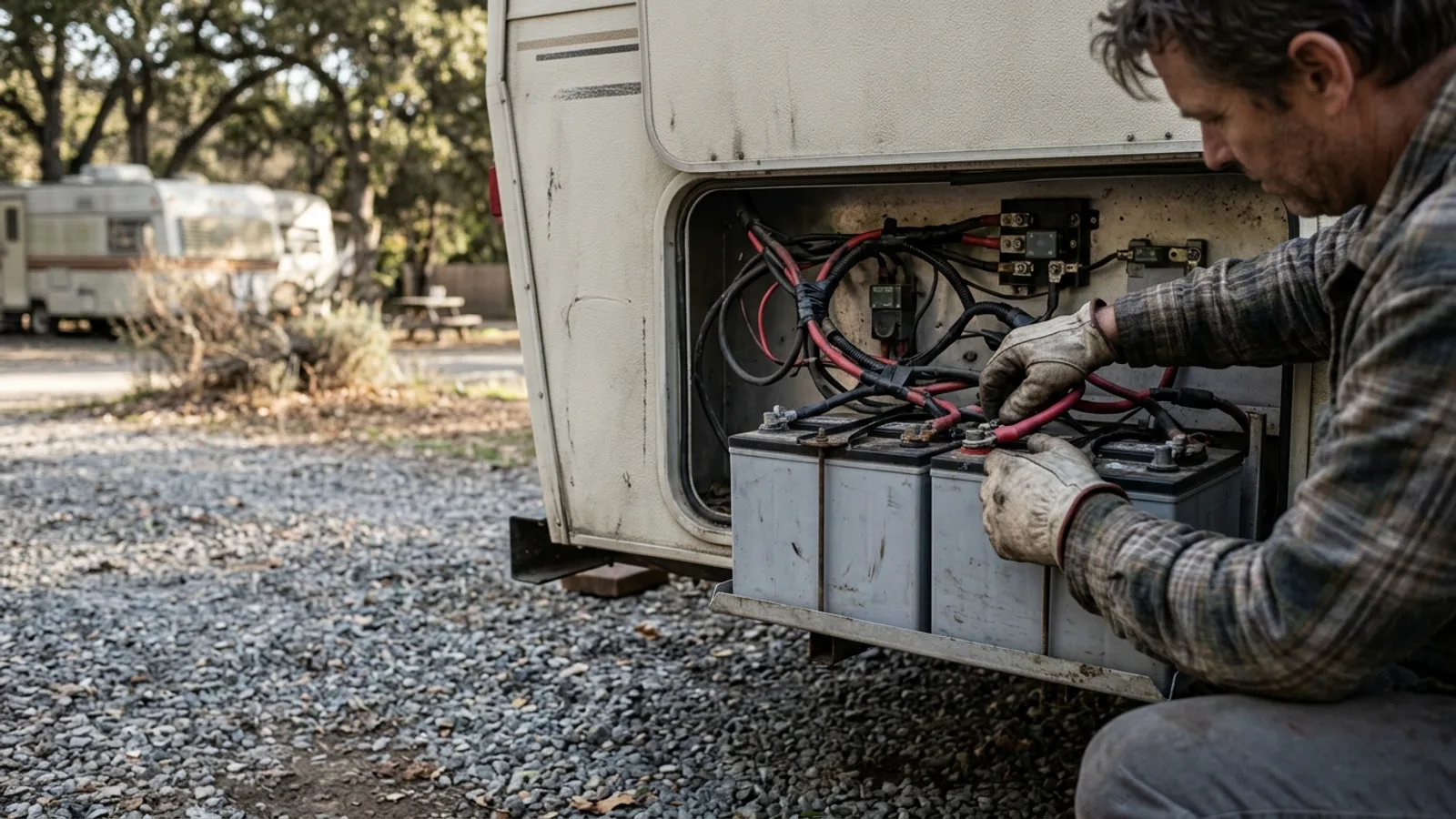 RV & Camper RV Battery Wiring: Positive and Negative Terminals, Grounding, and Corrosion Prevention 4 min read
 -
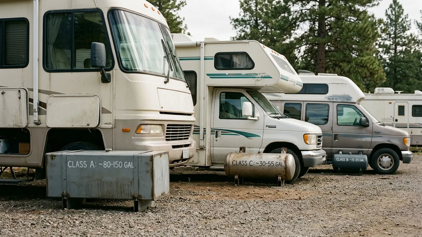 RV & Camper RV Gas Tank Sizes by Class: What to Expect and How to Plan Fuel Stops 4 min read
 -
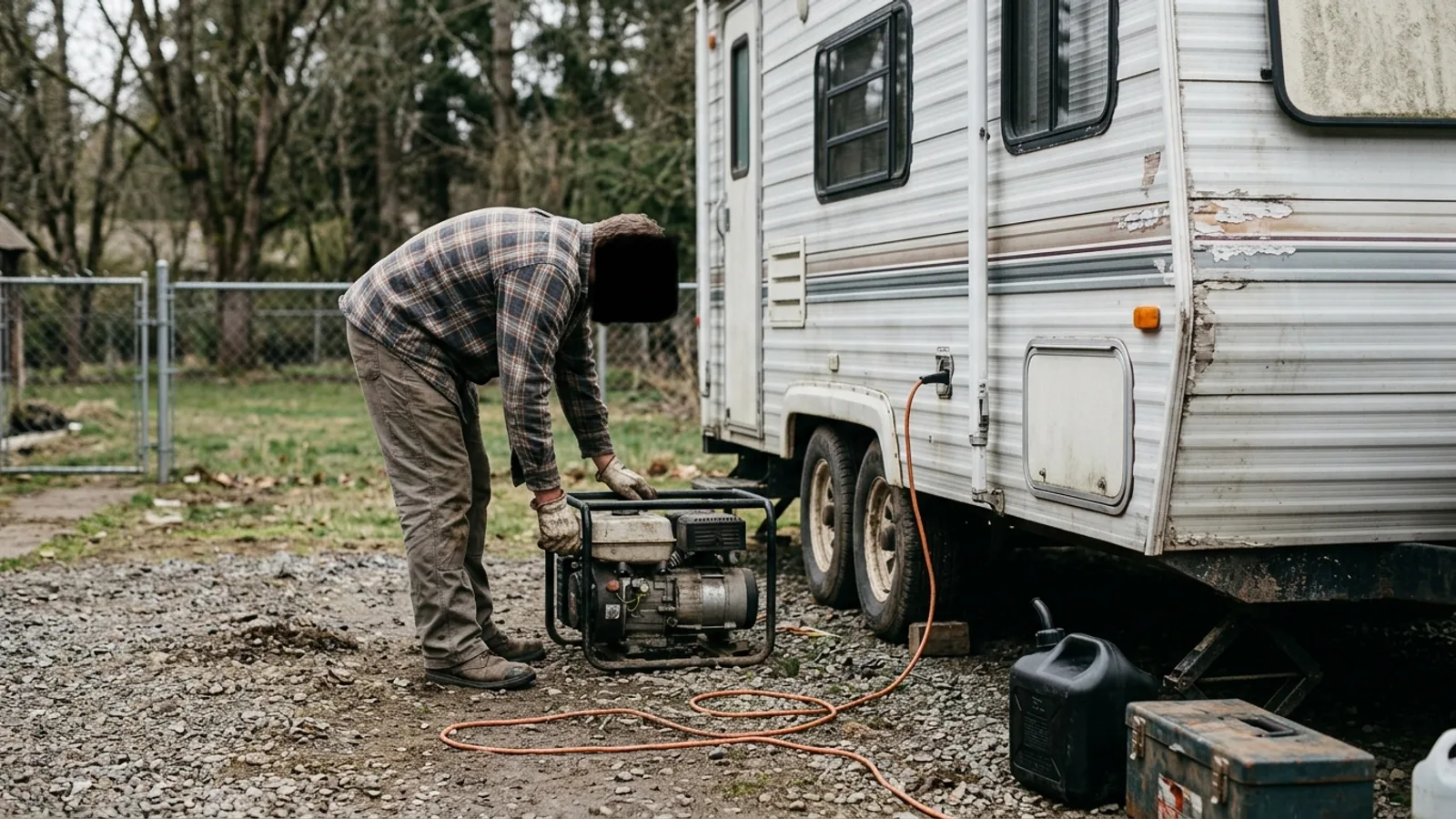 RV & Camper How to Choose the Right Size Generator for Your RV 4 min read
Sources: State agency, Wikimedia Commons / editorial, OpenStreetMap contributors, USGS PAD-US, Google Places · updated 2026-09-12