
Great Seal State Park
State Park · Ohio · Ohio Department of Natural Resources
- 32 named trails
- Camping
- 1,862 acres
Great Seal State Park is a 1,862-acre state park just north of Chillicothe, Ohio, managed by the Ohio Department of Natural Resources. The park sits on the Appalachian escarpment, the line of hills crossing Ohio's midsection that marks the edge of the Appalachian plateau, and its name and setting are tied to the history of the Shawnee nation and Ohio's early statehood.
The park suits hikers, mountain bikers, and equestrian riders willing to handle steep, hilly terrain, along with campers looking for primitive sites near scenic overlooks. Ohio Hunting and Trapping Regulations apply where hunting is permitted in designated areas, and picnickers, disc golfers, and families with children can also find dedicated space here.
Plan your visit
Trails & hiking
32 named routes 25.47 mi of walkable ways mapped within 2 km
- 1.90 The Mauger
- 1.62 Spandex
- 1.61 Mount Ives Summit
- 1.56 Bunker Hill
- 1.48 Lick Run Trail
- 1.45 The Cellar
- 1.16 Grouse Rock
- 1.10 Bunker Hill Summit
Camping
1 mapped camping locations
Camping
Great Seal State Park Campground offers Primitive sites, some offer amenities for equestrian campers. It is adjacent to Sugarloaf Mountain and has scenic views of the Scioto Valley below. Pets are permitted on all sites.…
Know before you go
- Address
- 4908 Marietta Rd, Chillicothe, OH, 45601
- Phone
- (740) 887-4818
- Official site
- ohiodnr.gov
- Managed by
- Ohio Department of Natural Resources
- Hours
- 6am to 11pm daily. Visitors are permitted to actively engage in legitimate recreational activities outside these hours. If you have questions, call the park office.
Getting there
4908 Marietta Rd, Chillicothe, OH, 45601
Directions on Google Maps (opens in a new tab) →On the ground
North and west of the escarpment lie glaciated plains, while south and east the land rises into rugged, forested hills, a contrast the park describes as visible from its trails, where visitors can reportedly see Columbus to the north on a clear day and unbroken ridges to the south. Named routes thread this terrain, including The Mauger, Spandex, Mount Ives Summit, Bunker Hill, and Lick Run Trail, along with shorter paths such as Grouse Rock, Rocky Knob, and Split Rock. The park's own trail count puts more than 23 miles of trails available to hikers, with terrain varying from steep to gently rolling; mountain bikes and horses are permitted on 17 miles of multiple-use trails.
The Storybook Trail, a 0.5 mile, easy route, begins near the Ireland picnic shelter parking lot and features a changing storybook display alongside a Free Little Library. The Great Seal State Park Campground sits adjacent to Sugarloaf Mountain with views over the Scioto Valley, offering primitive sites, some with equestrian amenities, and permits pets at all sites. Three scenic picnic areas with tables and grills are spread across separate parts of the park, and an 18-hole disc golf course, free to play, is located in the Ireland picnic area.
Practical notes
Park hours run from 6am to 11pm daily, though the park notes that visitors may continue legitimate recreational activities beyond those hours. The park office can be reached at (740) 887-4818. Camping reservations are required and can be made online or by calling (866) 644-6727.
Nearby parks


Parks of Ohio
88 parks mapped in Ohio
You're looking at Great Seal State Park — the gold marker.
Every dot is a park. Tap one to jump to it.
Browse all Ohio parks →Guides for the trip
All guides →-
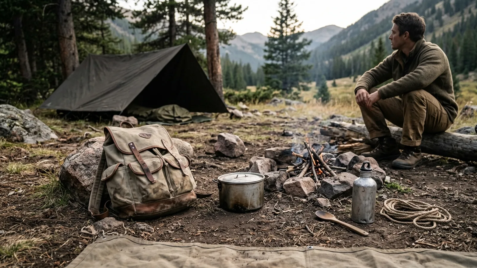 Gear What Is Primitive Camping? A Practical Guide to Backcountry Basics 5 min read
 -
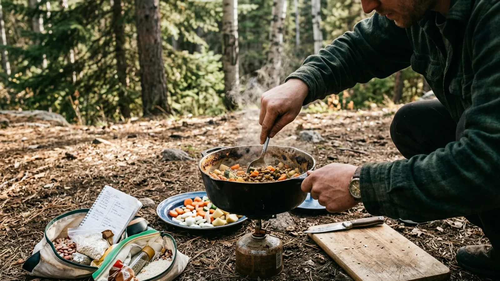 Camp Cooking Camping Food Planning: What to Pack and How to Cook It 5 min read
 -
 Camp Cooking What Food to Pack for a Camping Trip: Breakfast, Lunch, Dinner, and Snacks 4 min read
 -
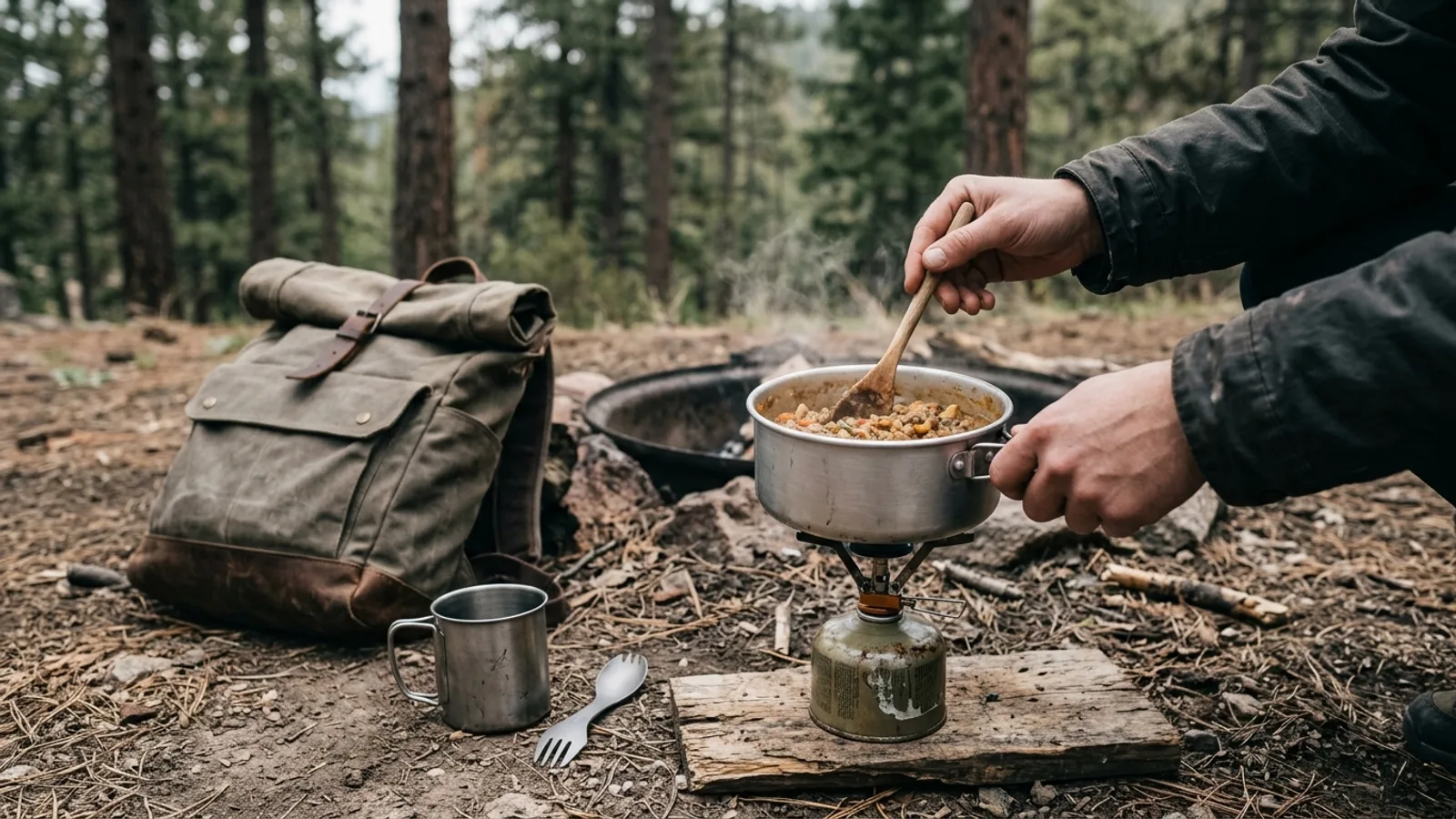 Camp Cooking No-Fridge Camping Food: What Actually Works 3 min read
Sources: State agency, Wikimedia Commons / editorial, OpenStreetMap contributors, USGS PAD-US, Google Places · updated 2026-09-12