
Barkcamp State Park
State Park · Ohio · Ohio Department of Natural Resources
- 12 named trails
- Camping
- 1,122 acres
Barkcamp State Park is a 1,122-acre Ohio state park near Belmont, managed by the Ohio Department of Natural Resources. The park's own description frames it as a place to see what Ohio's forests looked like prior to settlement, with hills and a quiet lake supporting camping, fishing, hiking, and paddling.
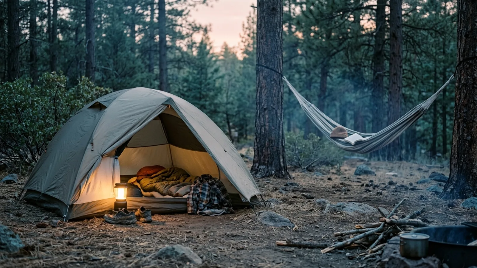
It suits campers and anglers more than destination hikers. The Barkcamp State Park Campground offers full hookup, electric, and tent-only sites, some ADA compliant, some set up for equestrian camping, plus Sherman Cabins and a group camp. Hand-powered boats and boats with electric motors are allowed on the park's lake, and a 700-foot beach on the lake's east side draws swimmers and sunbathers.
Plan your visit
Trails & hiking
12 named routes 25.86 mi of walkable ways mapped within 2 km
- 6.48 Blue Trail
- 1.85 Red Trail
- 1.62 Yellow Trail
- 1.31 Lower White Trail
- 1.27 Upper White Trail
- 1.26 Orange Trail
- 1.26 Green Trail
- 0.99 Lower Silver Trail
Camping
10 mapped camping locations
Camping
Barkcamp State Park Campground has a variety of sites including Full Hookup, Electric, and Tent-only sites. Some are ADA compliant and some accommodate Equestrian Camping. Sherman Cabins are available. One Group Camp is …
Know before you go
- Address
- 65330 Barkcamp Rd, Belmont, OH, 43718-9733
- Phone
- (740) 484-4064
- Official site
- ohiodnr.gov
- Managed by
- Ohio Department of Natural Resources
- Hours
- Park Office: (740) 484-4064Nature Center: Open Fri-Sun, Memorial Day through Labor DayJason Carpenter, ManagerEmail the ManagerFill-out a Customer Feedback Form
Getting there
65330 Barkcamp Rd, Belmont, OH, 43718-9733
Directions on Google Maps (opens in a new tab) →On the ground
The park's lake covers 117 acres and sits at the center of the park, its water held back by Belmont Lake Dam, the park's one listed historic feature. Trails mapped near the park total 25.86 miles across 43 segments, with the Blue Trail the longest named route at 6.48 miles. The Red Trail and Yellow Trail add shorter loops through the surrounding woods, while the Hawthorne Trail and Gold Trail cover under a mile each.
The hills here belong to the Appalachian Plateau, with coal seams layered in the sandstone bedrock, a legacy of decaying swamp vegetation from the Pennsylvanian period; Belmont County leads Ohio in coal production, with an estimated 5,668 million tons of coal beneath the surface. Above ground, second-growth forest covers the hills and valleys, described by the park as one of the few areas showing what Ohio's original forests may have looked like. Anglers fish for bass, bluegill, catfish, crappie, and saugeye, with an accessible fishing area near the boat launch, and a one-lane concrete boat ramp with a wooden dock system sits on the lake's west end.
Practical notes
The park office can be reached at (740) 484-4064. The Nature Center, housed in the Antique Barn in the campground, is open Friday through Sunday from Memorial Day through Labor Day. The park manager is Jason Carpenter.
Nearby parks


Parks of Ohio
88 parks mapped in Ohio
You're looking at Barkcamp State Park — the gold marker.
Every dot is a park. Tap one to jump to it.
Browse all Ohio parks →Guides for the trip
All guides →

Sources: State agency, Wikimedia Commons / editorial, OpenStreetMap contributors, USGS PAD-US, Google Places · updated 2026-09-12