
Caesar Creek State Park
State Park · Ohio · Ohio Department of Natural Resources
- 10 named trails
- Camping
- 6,571 acres
Caesar Creek State Park is a 6,571-acre Ohio Department of Natural Resources property near Waynesville, Ohio, built around a 2,830-acre lake with unlimited horsepower boating. Of the total acreage, 3,741 acres is land, with the balance in water, and the Ohio Department of Natural Resources describes the property as offering some of the finest outdoor recreation in Ohio amid its lakes, wildlife areas, meadows, and ravines.
The mix of a large boating lake, a swimming beach, equestrian and mountain bike trails, and fossil-bearing bedrock gives it a broad draw: boaters and anglers head for the lake, hikers and trail riders for the wooded trail network, and history-minded visitors for the park's cemeteries and dam structures.
Plan your visit
Trails & hiking
10 named routes 21.42 mi of walkable ways mapped within 2 km
- 4.08 Ward Road Loop Trail
- 3.52 Farmers Trace Equestrian Trail
- 3.20 Harveysburg Loop Trail
- 1.67 Moonlit Vista Equestrian Trail
- 1.49 Rosebriar Equestrian Trail
- 1.18 Solidago Downs Equestrian Trail
- 0.97 Deer Run Trail
- 0.78 Buckeye Trail
Camping
13 mapped camping locations
Camping
The Caesar Creek State Park Campground offers a variety of camping options for visitors looking to relax and enjoy the park and lake. The campground features 287 campsites with 50-amp electric service, including 35 full …
Know before you go
- Address
- 8570 E State Route 73, Waynesville, OH, 45068-9719
- Phone
- (513) 897-3055
- Official site
- ohiodnr.gov
- Managed by
- Ohio Department of Natural Resources
- Hours
- 6am to 11pm daily. Visitors are permitted to actively engage in legitimate recreational activities outside these hours. If you have questions, call the park office.
Getting there
8570 E State Route 73, Waynesville, OH, 45068-9719
Directions on Google Maps (opens in a new tab) →On the ground
Water dominates the park's identity. The 2,830-acre lake anchors the recreation area, and Horseshoe Falls is listed among the park's natural features. The bedrock itself is part of the story: the park sits astride the crest of the Cincinnati Arch, an upward fold exposing some of the oldest rocks in Ohio, sedimentary limestones and shales that record a sea once covering the state hundreds of millions of years ago, and the park is known for its fossil finds from that vanished sea.
On the ground, named trails give the park its walkable structure. The Ward Road Loop Trail runs 4.08 miles, the Farmers Trace Equestrian Trail 3.52 miles, and the Harveysburg Loop Trail 3.2 miles, with shorter routes including the Moonlit Vista Equestrian Trail at 1.67 miles, the Rosebriar Equestrian Trail at 1.49 miles, the Solidago Downs Equestrian Trail at 1.18 miles, the Deer Run Trail at 0.97 miles, the Buckeye Trail at 0.78 miles, a Moonlit Vista - Solidago Downs connector at 0.61 miles, and The Point Trail at 0.54 miles. Historic features scattered through the park include the Caesars Creek Monthly Meeting of Friends Cemetery, the Zion Baptist Cemetery, a Dam/Spillway, and a Swinging Bridge.
Photos


Nearby parks


Parks of Ohio
88 parks mapped in Ohio
You're looking at Caesar Creek State Park — the gold marker.
Every dot is a park. Tap one to jump to it.
Browse all Ohio parks →Guides for the trip
All guides →-
 Camp Cooking How to Pack and Cook Eggs While Camping 3 min read
 -
 RV & Camper How to Tell If Your RV Converter Is Charging the Battery 4 min read
 -
 RV & Camper Why Your RV Propane Alarm Keeps Beeping (And How to Fix It) 4 min read
 -
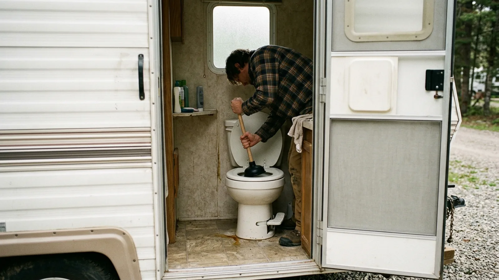 RV & Camper How to Unclog an RV Toilet: Practical Methods That Work 3 min read
Sources: State agency, Wikimedia Commons / editorial, OpenStreetMap contributors, Google Places · updated 2026-09-12