
Tar Hollow State Park
State Park · Ohio · Ohio Department of Natural Resources
- 10 named trails
- Camping
- 619 acres
Tar Hollow State Park covers 619 acres in the sandstone hill country of southeast Ohio, near Laurelville. Of that total, 604 acres are land and 15 acres are water. The park is managed by the Ohio Department of Natural Resources.
It suits campers, hikers, and anglers looking for a wooded, ravine-cut park rather than a large lake or beach destination. Backpackers have a dedicated long-distance route, day hikers have shorter loops off the campground, and boaters and anglers have a small lake sized for hand-powered and electric craft rather than motorboats.
Plan your visit
Trails & hiking
10 named routes 22.57 mi of walkable ways mapped within 2 km
- 4.99 Buckeye Trail
- 3.46 Ross Hollow
- 2.28 Logan Trail - Slickaway Segment
- 2.25 Logan Trail - Vinton Segment
- 2.07 Logan Trail - Butcher Segment
- 1.88 Logan Trail - Ross Segment
- 1.75 Homestead Trail
- 1.38 Logan Trail - Firetower East Segment
Camping
12 mapped camping locations
Camping
Tar Hollow State Park Campground has a variety of sunny and shady sites, with Electric, Full Hook-up, and Non-electric sites as well as Sherman Cabins, and Group Camping. Reservations are required and can be made online …
Know before you go
- Address
- 16396 Tar Hollow Road, Laurelville, OH, 43135
- Phone
- (740) 887-4818
- Official site
- ohiodnr.gov
- Managed by
- Ohio Department of Natural Resources
- Hours
- 6am to 11pm daily. Visitors are permitted to actively engage in legitimate recreational activities outside these hours. If you have questions, call the park office.
Getting there
16396 Tar Hollow Road, Laurelville, OH, 43135
Directions on Google Maps (opens in a new tab) →On the ground
Sandstone ridges here formed from sediment washed westward as ancient seas retreated, and the hills now carry oak and hickory on the dry ridge tops with sycamore, black willow, buckeye and silver maple along the stream valleys. Bloodroot, wild geranium, cardinal flower and Solomon's seal grow in the understory. The Homestead Trail, blazed blue, begins at the spillway at Pine Lake and runs as a family-friendly loop. The Ross Hollow Hiking Trail, blazed yellow, starts in the Ross Hollow camp area and climbs into the hills of Tar Hollow over moderate terrain. Backpackers can follow the Logan Backpack Trail, a red-blazed route laid out as a figure eight through the park's more difficult terrain. A Primitive Camp Area along the Logan Backpacking Trail offers tent-only, hike-in sites, with registration at the General Store in season or at the park office.
Three historic features noted in the park are the Dam/Spillway, the Fire Tower, and the Spillway. Native Americans occupied this land long before European settlement, with the Hopewell present from about 200 B.C. to 500 A.D. and leaving burial mounds that can still be seen, followed later by the Shawnee and Mingo, who used the area as hunting grounds. In 1796 Nathaniel Massie platted the town of Chillicothe on the Scioto River near the mouth of Paint Creek, offering the first hundred lots free to settlers and selling farm tracts of 100 to 200 acres for one or two dollars an acre, drawing many Kentuckians and Virginians; Chillicothe became the state capital in 1803.
Photos


Practical notes
Tar Hollow State Park Campground offers electric, full hook-up, and non-electric sites, along with Sherman Cabins and group camping, all by reservation online or by calling (866) 644-6727. Pine Lake, at 15 acres, allows hand-powered and electric-only boats, with a launch ramp near the beach and canoe, kayak, and paddle boat rentals at the General Store. The same lake holds bluegill, bass, and catfish, and anglers 16 and older need a valid Ohio fishing license. A 500-foot beach on Pine Lake sits within walking distance of the campgrounds, though the park notes there is no lifeguard. Park hours run 6am to 11pm daily, and visitors engaged in legitimate recreational activities may remain beyond that window. The park office can be reached at (740) 887-4818. The park is located at 16396 Tar Hollow Road, Laurelville, OH, 43135.
Nearby parks


.jpg)
.jpg)
.jpg)
.jpg)
.jpg)
Parks of Ohio
88 parks mapped in Ohio
You're looking at Tar Hollow State Park — the gold marker.
Every dot is a park. Tap one to jump to it.
Browse all Ohio parks →Guides for the trip
All guides →-
 Weather & Seasons How to Dress for Camping: A Practical Layering Guide 4 min read
 -
 Overlanding How to Find Overlanding Trails: A Practical Guide 4 min read
 -
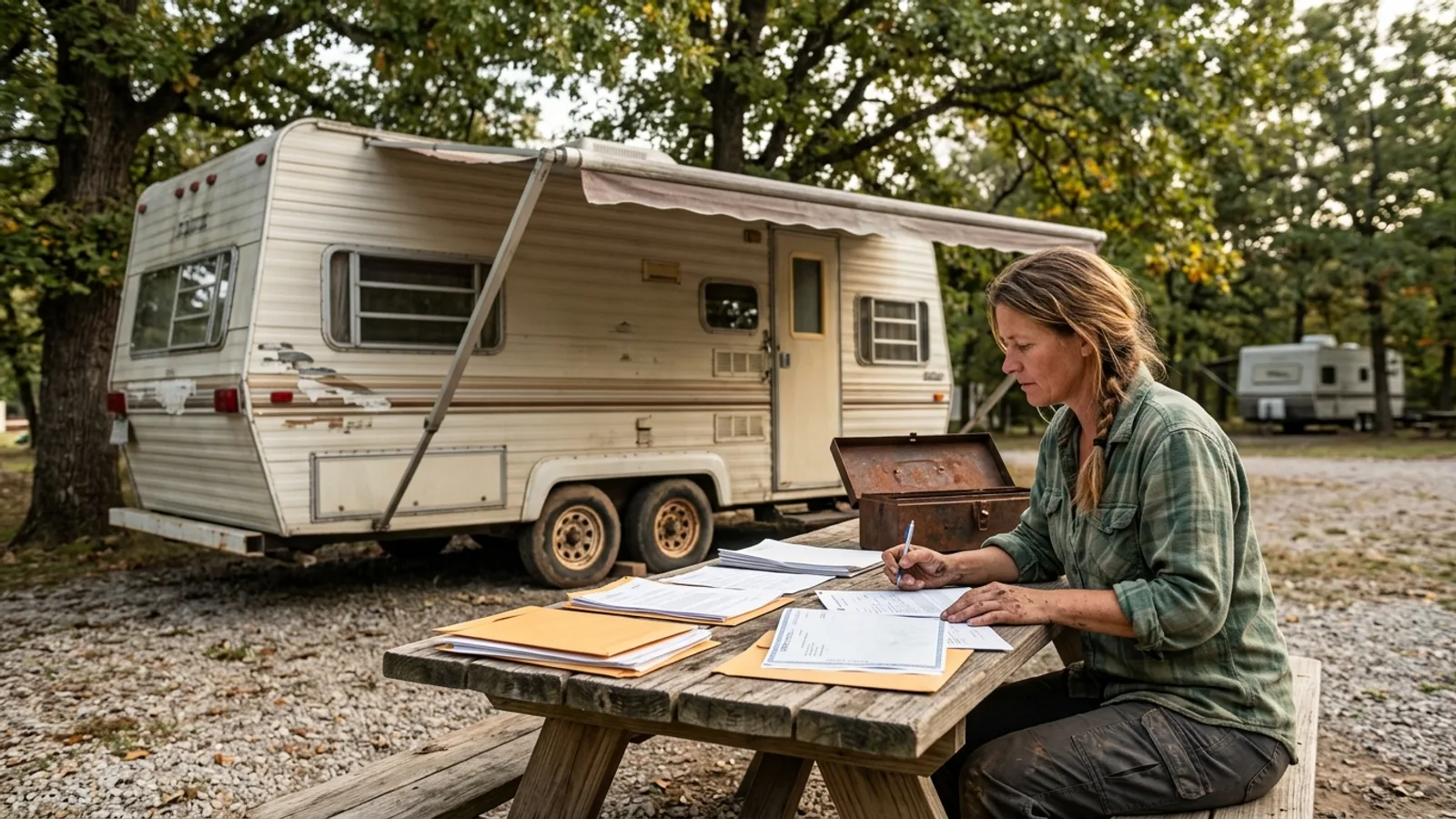 RV & Camper How to Get a Title for a Camper 4 min read
 -
 RV & Camper How to Get Rid of Mouse Smell in an RV (and Keep Mice Out for Good) 3 min read
Sources: State agency, Wikimedia Commons / editorial, OpenStreetMap contributors, USGS PAD-US, Google Places · updated 2026-09-12