North Bass Island State Park
State Park · Ohio · Ohio Department of Natural Resources
- Camping
- 593 acres
North Bass Island State Park protects 593 acres on North Bass Island, also called Isle St. George, the northern-most U.S. island in Lake Erie. Reaching it means crossing water, and the park's offerings match that remoteness: primitive camping, hiking, picnicking, wildlife watching, and shoreline fishing, with no developed water acreage counted inside the park. This is a destination for visitors who want island isolation over amenities.
The Ohio Department of Natural Resources manages the property. The island sits 18 miles from the Ohio mainland and less than 2 miles from the Canada border; the international boundary once ran through the island itself before it was shifted to place North Bass Island entirely within the United States. That history of edge-of-the-map geography is part of what defines the park today.
Plan your visit
Camping
4 mapped camping locations
Camping
Site types & reservations: see the official site.
Know before you go
- Address
- North Bass Island, Isle St George, OH, 43456
- Phone
- (419) 609-4124
- Official site
- ohiodnr.gov
- Managed by
- Ohio Department of Natural Resources
Getting there
North Bass Island, Isle St George, OH, 43456
Directions on Google Maps (opens in a new tab) →On the ground
The island's settlement history is layered into the landscape. Roswell Nichols and his wife arrived in 1844 as the first permanent residents, living in solitude until 1849. Later, brothers Simon and Peter Fox cleared land to plant grapes and establish the island's wineries, work that Robert Gottesman went on to expand. Remnants of their original residences still stand on the island, and the park's historic features include a Church and a School House, quiet markers of the farming and winemaking community that once worked this ground.
Geologically, North Bass Island owes its shape to glaciers that advanced from Canada into the western basin of Lake Erie, gouging and scouring the bedrock. As the ice retreated and the climate warmed, meltwater filled the depressions the glaciers left behind, a process tied to the formation of the Great Lakes themselves. Walkers can still find evidence of this in the island's dolomite bedrock, where glacial striations, small scratches left by the ice, mark the rock surface. Within the park, mapped walkable ways total 0.83 miles across 12 segments, none of them named routes, reflecting the primitive, undeveloped character of the place rather than a built trail system.
Practical notes
The park can be reached at (419) 609-4124. It is located at North Bass Island, Isle St George, OH, 43456.
Nearby parks


Parks of Ohio
88 parks mapped in Ohio
You're looking at North Bass Island State Park — the gold marker.
Every dot is a park. Tap one to jump to it.
Browse all Ohio parks →Guides for the trip
All guides →-
 RV & Camper Free RV Parking: Where to Legally Park Overnight Without Paying Campground Fees 4 min read
 -
 Overlanding Fuel Planning and Storage for Overlanding Trips 4 min read
 -
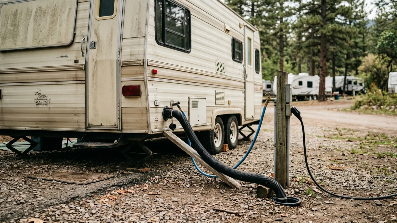 RV & Camper Understanding Full RV Hookups: What They Are and How to Use Them 4 min read
 -
 RV & Camper Full-Time RV Living: A Practical Guide for Beginners 7 min read
Sources: State agency, OpenStreetMap contributors, USGS PAD-US, Google Places · updated 2026-08-12