
Buck Creek State Park
State Park · Ohio · Ohio Department of Natural Resources
- 2 named trails
- Camping
- 4,016 acres
Buck Creek State Park sits in west-central Clark County near Springfield, Ohio, on 4016 acres of land and water managed by the Ohio Department of Natural Resources. The park is built around the C.J. Brown Reservoir, whose dam is managed by the US Army Corps of Engineers, and the surrounding land totals 1896 acres with 2120 acres of water. The state agency describes the area as surrounded by rich agricultural lands and rich in Ohio history.
It suits visitors looking for a mix of water-based recreation and quiet walking trails rather than a backcountry destination. The park's location amid farmland and its long human history, going back thousands of years, give it a layered character beyond its lake and beach.
Plan your visit
Trails & hiking
2 named routes 13.22 mi of walkable ways mapped within 2 km
- 9.57 Bridle Trail
- 0.18 Lakeview Trail
Camping
7 mapped camping locations
Camping
Site types & reservations: see the official site.
Know before you go
- Address
- 1976 Buck Creek Lane, Springfield, OH, 45502
- Phone
- (937) 322-5284
- Official site
- ohiodnr.gov
- Managed by
- Ohio Department of Natural Resources
- Hours
- 7am to 11pm daily. Visitors are permitted to actively engage in legitimate recreational activities outside these hours. If you have questions, call the park office.
Getting there
1976 Buck Creek Lane, Springfield, OH, 45502
Directions on Google Maps (opens in a new tab) →On the ground
A Native American path once ran through the area now occupied by Buck Creek State Park, connecting the Scioto River to the south with another trail to the north that stretched toward the Miami River area; the Shawnee and Miami people used this route. The Adena culture lived in the region from 800 B.C.E. to 100 C.E., and the Hopewell culture followed from 100 C.E. to 500 C.E. Both groups built large earth mounds across what is now Clark County, and one was probably built where the park stands today; other mounds survive nearby, including Enon Mound southwest of Springfield. Today the park's historic features include the Crabill Homestead and the Dam/Spillway.
The surrounding landscape reflects the retreat of glaciers from Ohio more than 12,000 years ago, which left low hills called moraines and filled old river valleys with gravel and sand; springs now well up through these deposits, and the city of Springfield takes its name from them. The park's Native Wildflower Area highlights this natural setting. For walking, the Bridle Trail runs 9.57 miles and the Lakeview Trail covers 0.18 miles, part of a network of ways mapped near the park.
Photos


Nearby parks


.jpg)
.jpg)
.jpg)
.jpg)
.jpg)
Parks of Ohio
88 parks mapped in Ohio
You're looking at Buck Creek State Park — the gold marker.
Every dot is a park. Tap one to jump to it.
Browse all Ohio parks →Guides for the trip
All guides →-
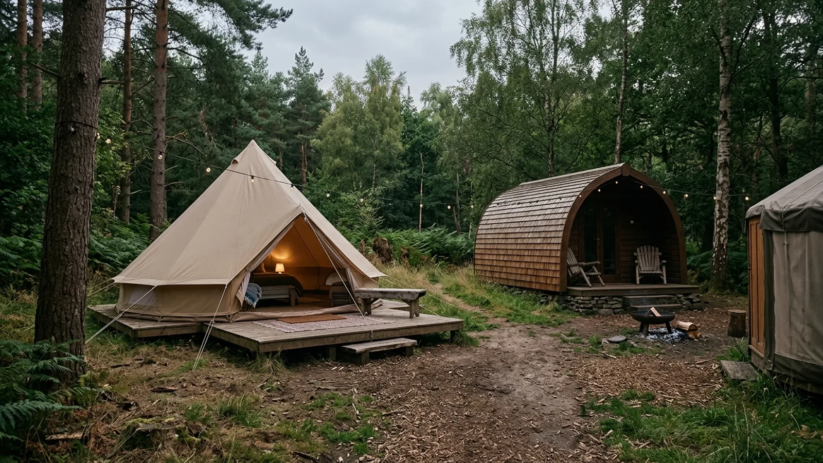 Glamping Glamping Pods: What They Are and What to Expect 3 min read
 -
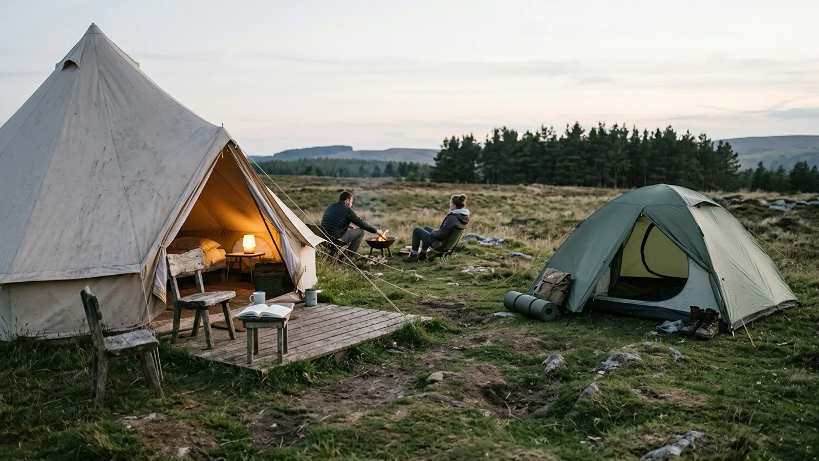 Glamping Glamping vs. Camping: How to Choose the Right Outdoor Experience 4 min read
 -
 Overlanding Overland Camping: A Practical Guide to Vehicle-Based Backcountry Travel 5 min read
 -
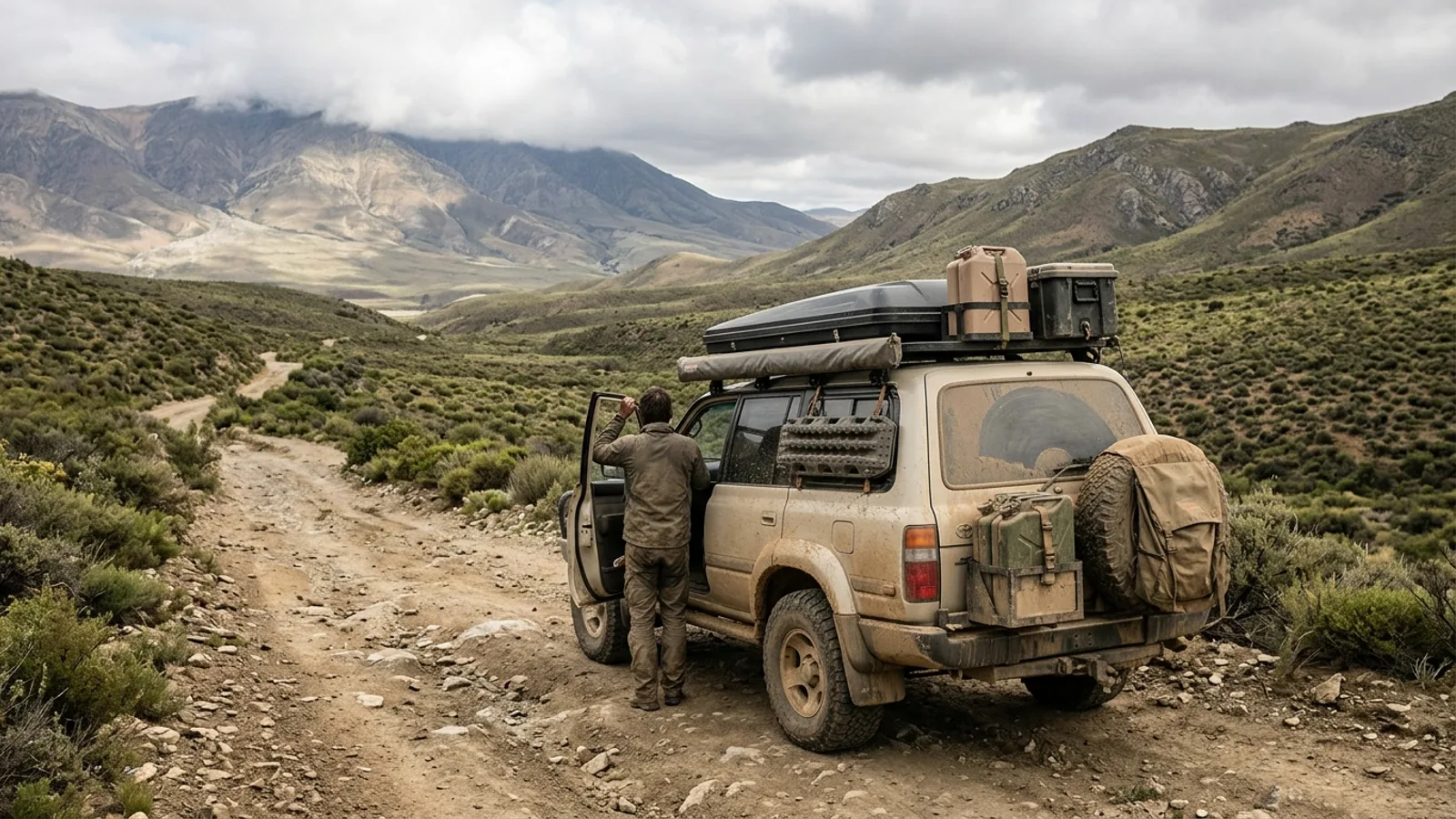 Overlanding What Is Overlanding? A Practical Introduction 5 min read
Sources: State agency, Wikimedia Commons / editorial, OpenStreetMap contributors, USGS PAD-US, Google Places · updated 2026-09-12