
Rocky Fork State Park
State Park · Ohio · Ohio Department of Natural Resources
- Camping
- 3,464 acres
Rocky Fork State Park is a 3464-acre state park in Highland County near Hillsboro, Ohio, managed by the Ohio Department of Natural Resources. Water covers 2080 acres of that total, held behind a dam that backs up Rocky Fork Creek into a lake ringed by 1384 acres of land, making boating and fishing the center of the park's identity.
It suits boaters, anglers, and campers more than backcountry hikers: the lake allows unlimited horsepower boating with six boat launch ramps and more than 700 docks, while a full-service campground at the northwest corner of the lake takes trailers and tents and permits pets on all sites.
Plan your visit
Trails & hiking
Trail
Camping
11 mapped camping locations
Camping
A full-service campground offers electric, non-electric and full hook-up campsites suitable for trailers and tents at the northwest corner of the lake. Pets are permitted on all sites. Two group camping options are avail…
Know before you go
- Address
- 9800 North Shore Drive, Hillsboro, OH, 45133
- Phone
- (937) 393-4284
- Official site
- ohiodnr.gov
- Managed by
- Ohio Department of Natural Resources
- Hours
- 6am to 11pm daily. Visitors are permitted to actively engage in legitimate recreational activities outside these hours. If you have questions, call the park office.
Getting there
9800 North Shore Drive, Hillsboro, OH, 45133
Directions on Google Maps (opens in a new tab) →On the ground
The park's name comes from Rocky Fork Creek, which once flowed through a valley later blocked by glacial ice more than 12,000 years ago; the stream reversed course and cut a 75-foot gorge that is still visible today. The rare wildflower Sullivantia blooms in that gorge, and the surrounding limestone, particularly its dolomite, has been dissolved by trickling rainwater over time to form caves in the region. A natural feature called Stone Arch and a historic Dam/Spillway are both highlighted among the park's features.
Walking options are short and specific rather than extensive: the Bird Observation Trail runs 0.3 mile to a bird watching observation station, the Storybook Trail covers 0.5 mile, and the Deer Loop Trail extends 1 mile through woodlands and wetlands. Nearby, the Chapel In The Woods stands among the park's built landmarks. The park also sits near other historic ground -- Rocky Fork and Miller Nature Sanctuary state nature preserves, and Fort Hill, Serpent Mound, and Adena State Memorial are located nearby, reflecting the same Native American history that touched this land, when the surrounding streams served as a transportation system for early inhabitants and later attracted millwrights who built at least six mill sites along Rocky Fork's banks during the 1800s and early 1900s.
Photos


Practical notes
The park office can be reached at (937) 393-4284. Park hours run 6am to 11pm daily, though visitors are permitted to actively engage in legitimate recreational activities outside these hours; questions can be directed to the park office. The park is located at 9800 North Shore Drive, Hillsboro, OH, 45133.
Nearby parks


Parks of Ohio
88 parks mapped in Ohio
You're looking at Rocky Fork State Park — the gold marker.
Every dot is a park. Tap one to jump to it.
Browse all Ohio parks →Guides for the trip
All guides →-
 Camp Cooking Understanding the Real Costs of Camping 4 min read
 -
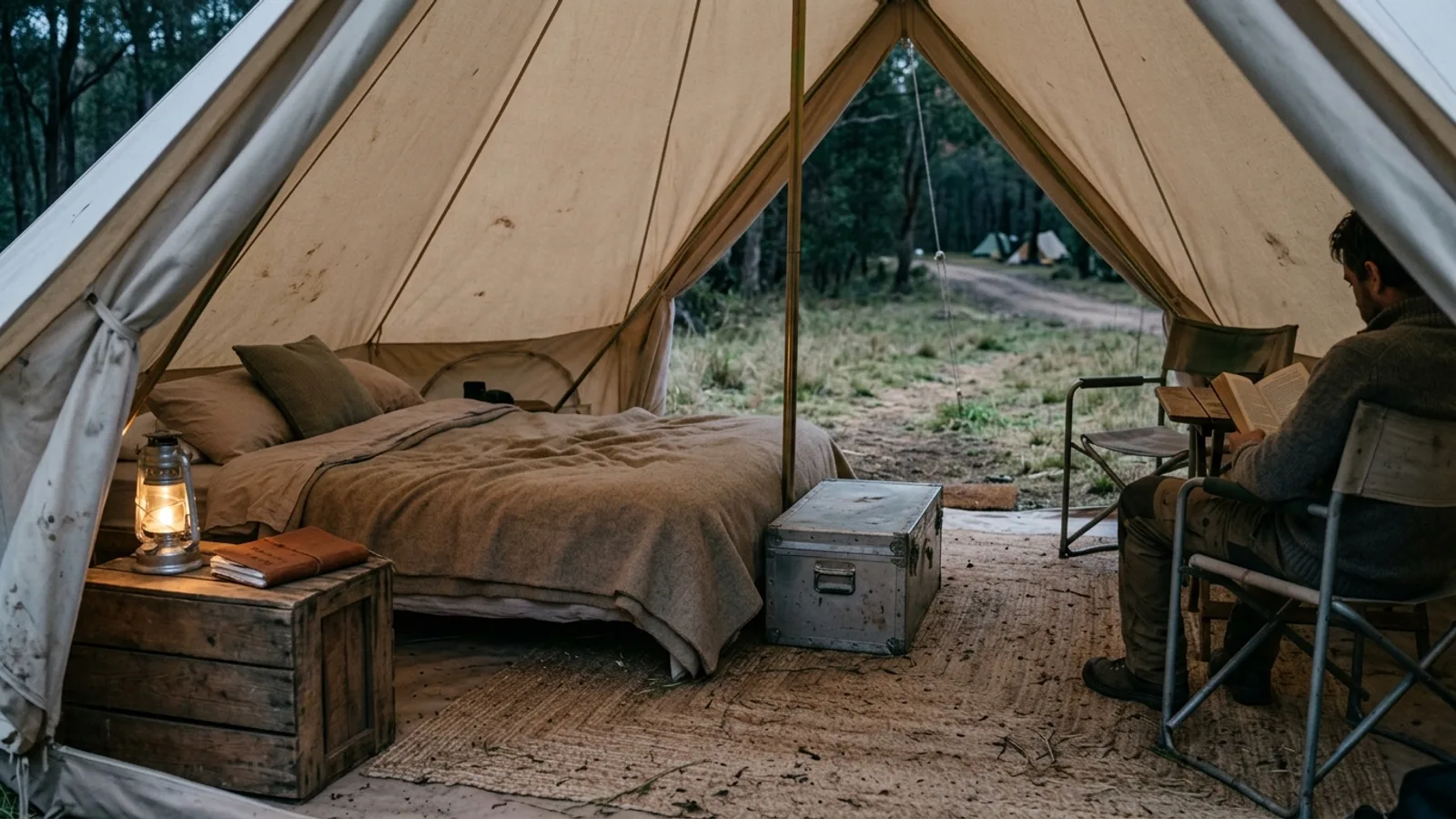 Glamping How Much Does Glamping Cost? A Practical Guide to Pricing 4 min read
 -
 RV & Camper How Much RV Antifreeze Do You Need to Winterize Your RV? 5 min read
 -
 RV & Camper How Often to Seal an RV Roof: A Practical Maintenance Guide 4 min read
Sources: State agency, Wikimedia Commons / editorial, OpenStreetMap contributors, USGS PAD-US, Google Places · updated 2026-09-12