
Pike Lake State Park
State Park · Ohio · Ohio Department of Natural Resources
- 11 named trails
- Camping
- 600 acres
Pike Lake State Park is a 600-acre state park near Bainbridge, Ohio, managed by the Ohio Department of Natural Resources. Land accounts for 587 acres and the park's small lake covers 13 acres, described by the agency as contributing to the park's rustic charm within the surrounding wooded hills of southern Ohio.
It suits visitors looking for a quiet, low-key lake and forest park rather than a destination with major engineered attractions: fishing, non-powered boating, camping in cabins or electric sites, and a modest network of hiking and bridle trails. The agency notes the park sits in an unglaciated portion of the Appalachian plateau, giving it a hillier, more forested character than land thirty miles to the west.
Plan your visit
Trails & hiking
11 named routes 26.53 mi of walkable ways mapped within 2 km
- 2.85 Robinett Ridge Bridle Trail
- 2.84 Buckeye Trail
- 2.27 Orchard Bridle Trail
- 2.01 Valley Bridle Trail
- 1.83 Buckeye Trail - Bridle
- 1.40 Cabin Bridle Trail
- 1.39 Mitchell Ridge Trail
- 0.81 Wildcat Hollow Trail
Camping
6 mapped camping locations
Camping
Site types & reservations: see the official site.
Cabins & lodging
Lodging
Availability & booking: see the official site.
Know before you go
- Address
- 1847 Pike Lake Road, Bainbridge, OH, 45612
- Phone
- (740) 493-2212
- Official site
- ohiodnr.gov
- Managed by
- Ohio Department of Natural Resources
- Hours
- 6am to 11pm daily. Visitors are permitted to actively engage in legitimate recreational activities outside these hours. If you have questions, call the park office.
Getting there
1847 Pike Lake Road, Bainbridge, OH, 45612
Directions on Google Maps (opens in a new tab) →On the ground
The park's trail system is built around several short, named hikes. Lake Rim Trail runs 0.33 miles along the water, while Greenbrier Nature Trail, a self-guided route, covers 0.45 miles. Mitchell Ridge Trail extends 1.39 miles and connects with the long-distance Buckeye Trail, which passes through the park for 2.84 miles. Wildcat Hollow Trail adds another 0.81 miles, and the CCC Trail covers 0.3 miles. Beyond the park boundary, an adjacent state forest carries a network of bridle trails, including the Robinett Ridge Bridle Trail at 2.85 miles, the Orchard Bridle Trail at 2.27 miles, the Valley Bridle Trail at 2.01 miles, a segment marked Buckeye Trail - Bridle at 1.83 miles, and the Cabin Bridle Trail at 1.4 miles, though horse rentals are not available on site.
Historic features are limited but specific: a Dam/Spillway, an Unknown Soldier Grave, and a Walking Bridge are listed among the park's named highlights. The area's human history reaches back further than these structures — Pike County holds earthworks built by prehistoric moundbuilder peoples who lived in the Scioto River Valley beginning around 800 B.C., and the Shawnee later made this area their hunting grounds. Just south of the park stands Eagers Inn, built in 1797 along a historic route running from Limestone, Kentucky to Chillicothe, Ohio, the state's first capital, whose early growth spurred settlement of the surrounding area.
Photos


Nearby parks


.jpg)
Parks of Ohio
88 parks mapped in Ohio
You're looking at Pike Lake State Park — the gold marker.
Every dot is a park. Tap one to jump to it.
Browse all Ohio parks →Guides for the trip
All guides →-
 RV & Camper How Much Does an RV Weigh? Understanding Weight Ratings and Categories 6 min read
 -
 Shelter & Sleep How to Choose a 4-Person Tent: A Practical Buying Guide 4 min read
 -
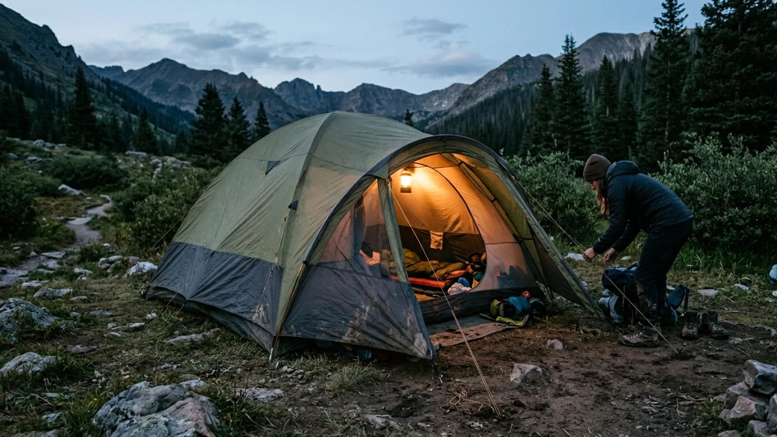 Shelter & Sleep How to Choose a 6-Person Tent: A Practical Buying Guide 4 min read
 -
 Gear How to Choose a Backpack Cooler for Camping 3 min read
Sources: State agency, Wikimedia Commons / editorial, OpenStreetMap contributors, USGS PAD-US, Google Places · updated 2026-09-12