
Hat Rock State Park
State Park · Oregon · Oregon Parks and Recreation Department
- 719 acres
Park Overview Hat Rock State Park, located off U.S. Highway 730 nine miles east of Umatilla, lies on the south shore of Lake Wallula behind McNary Dam on the Columbia River. Hat Rock was the first distinctive landmark passed by the Lewis and Clark Expedition on their journey down the Columbia, and is one of the few remaining sites not underwater. The park is a desert oasis surrounded by rolling sagebrush hills and outcroppings of basalt. This special place offers visitors a chance to escape the summer heat under the shelter of cottonwood and black locust ringed by acres of green grass. A boat
Plan your visit
Trails & hiking
Biking · Hiking · Horseback Riding · Trail
Know before you go
- Official site
- stateparks.oregon.gov
- Managed by
- Oregon Parks and Recreation Department
Getting there
Things to do
Activities & features: Boating · Fishing · Interpretive Signage · Picnic Area · Scenic Overlook · Wildlife Viewing
Photos


Nearby parks
-
 Sacajawea Historical State Park 21.5 mi away
 -
 Whitman Mission National Historic Site 34.7 mi away
 -
 Emigrant Springs State Heritage Area 42.1 mi away
 -
 Battle Mountain Forest State Scenic Corridor 44 mi away
 -
 Ice Age Floods National Geologic Trail 46.3 mi away
 - Blue Mountain Forest State Scenic Corridor 49.3 mi away
Parks of Oregon
194 parks mapped in Oregon
You're looking at Hat Rock State Park — the gold marker.
Every dot is a park. Tap one to jump to it.
Browse all Oregon parks →Guides for the trip
All guides →-
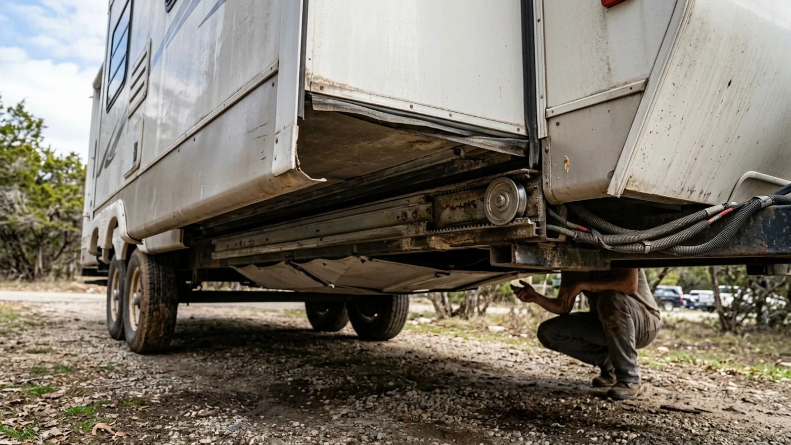 RV & Camper How RV Slide Outs Work: Mechanisms, Operation, and Maintenance 4 min read
 -
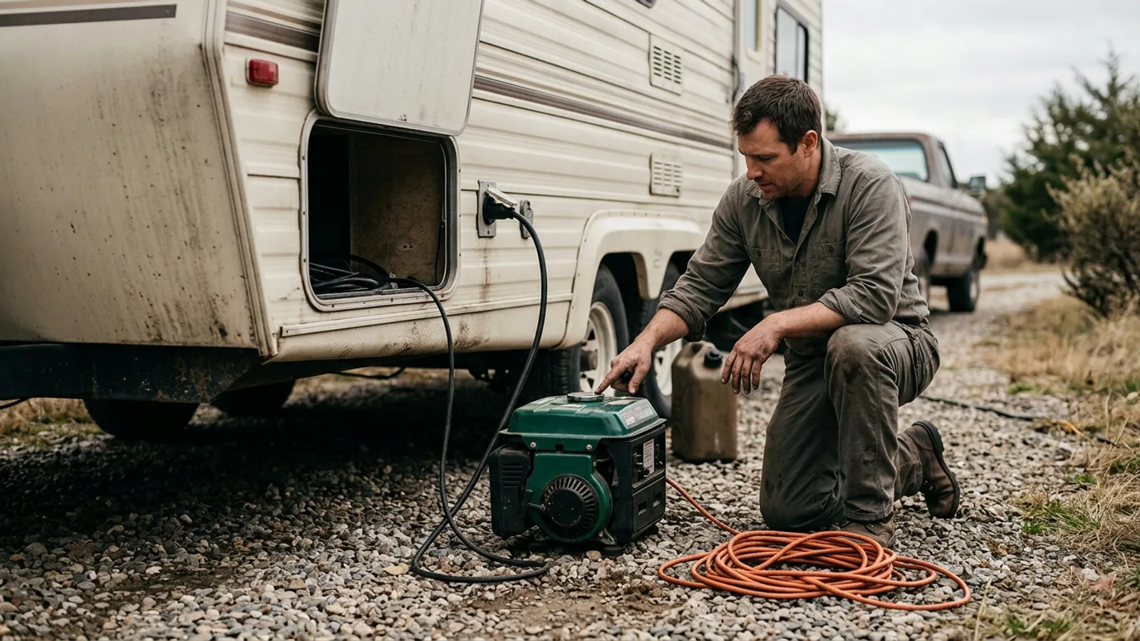 RV & Camper How RV Generators Work: Power, Fuel, and Maintenance Explained 5 min read
 -
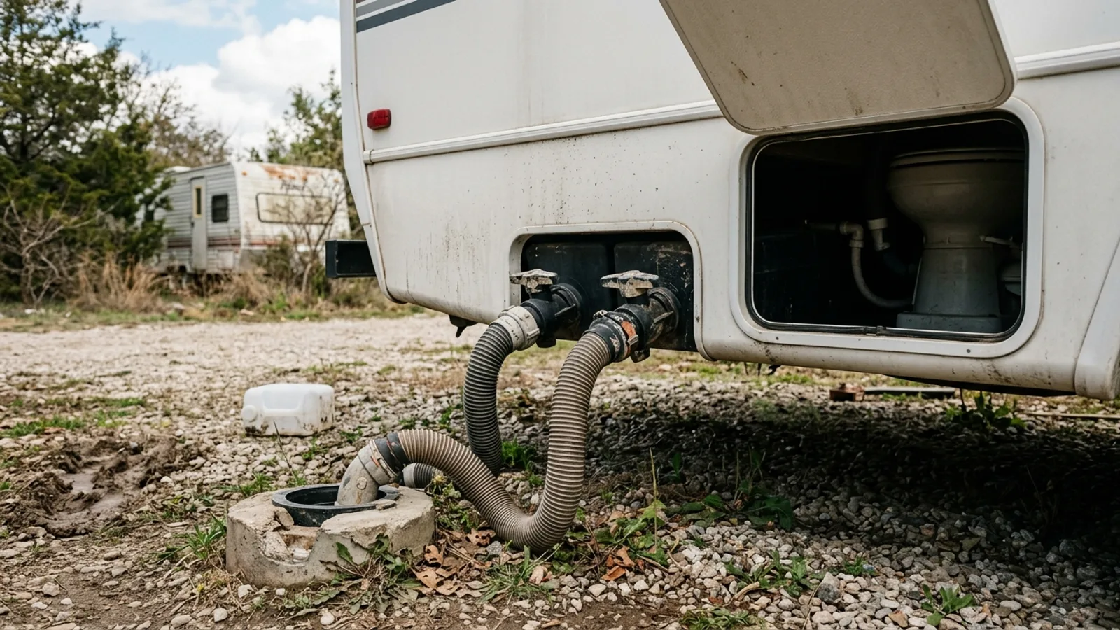 RV & Camper RV Black Tanks and Toilets: How They Work and How to Maintain Them 6 min read
 -
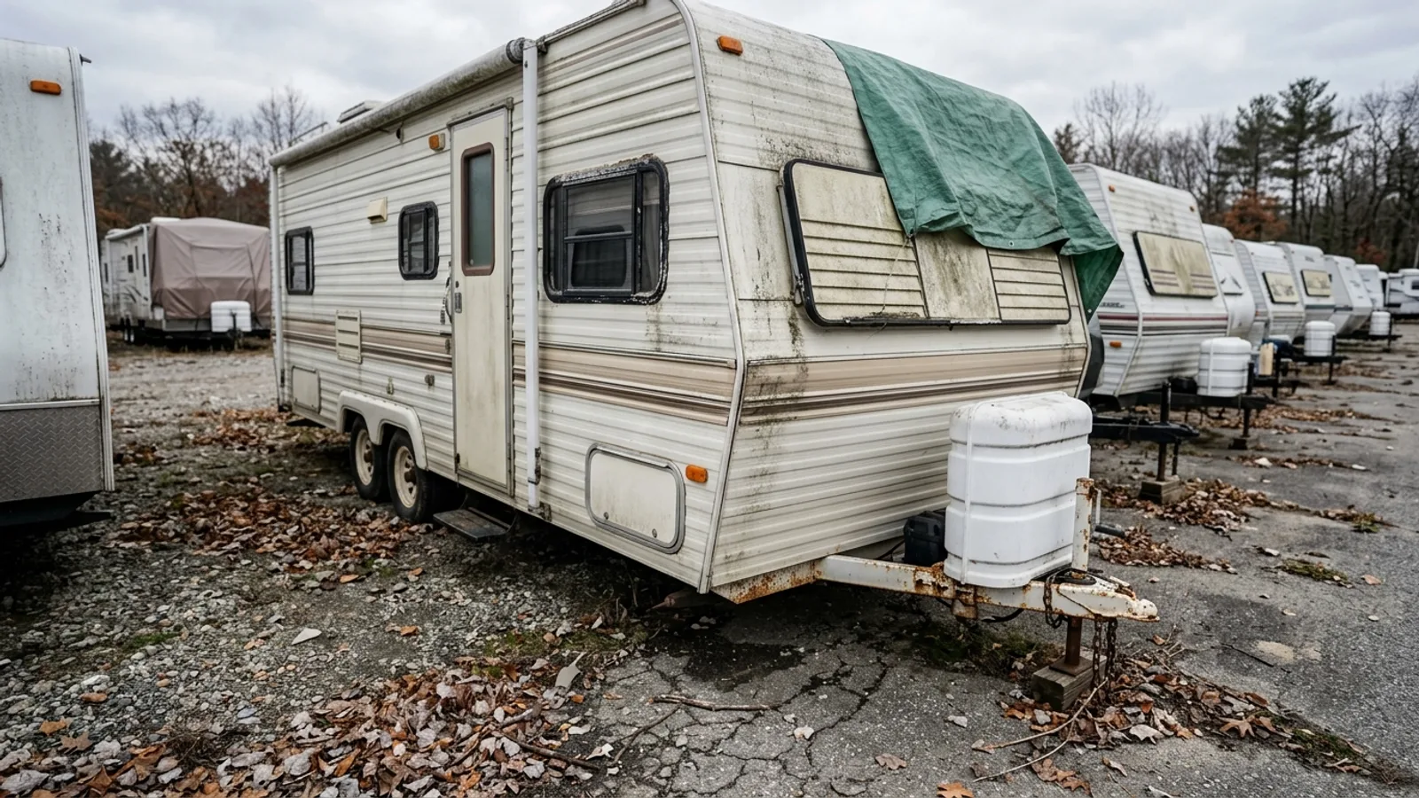 RV & Camper How Long a Winterized Camper Can Sit in Storage — and How to Do It Right 5 min read
Sources: Wikimedia Commons / editorial, State agency · updated 2026-09-12