
Cape Arago State Park
State Park · Oregon · Oregon Parks and Recreation Department
- 146 acres
Cape Arago may be the end of the road (the road out of Coos Bay goes no further), but it's really only the beginning of your south coast exploration. Located at the end of Cape Arago Highway about 15 miles southwest of Coos Bay, Cape Arago is a scenic headland jutting into the Pacific Ocean. Long used by native Americans, Cape Arago was first sighted by Europeans during one of Sir Francis Drake's expeditions in the late 1500s. Modern visitors can scan the horizon for migrating whales and other marine mammals, as well as fishing boats and ships entering and leaving nearby Coos Bay. The south co
Plan your visit
Trails & hiking
Hiking · Trail
Know before you go
- Official site
- stateparks.oregon.gov
- Managed by
- Oregon Parks and Recreation Department
Getting there
Things to do
Activities & features: Beach · Fishing · Picnic Area · Scenic Overlook · Wildlife Viewing
Photos


Nearby parks


Parks of Oregon
194 parks mapped in Oregon
You're looking at Cape Arago State Park — the gold marker.
Every dot is a park. Tap one to jump to it.
Browse all Oregon parks →Guides for the trip
All guides →-
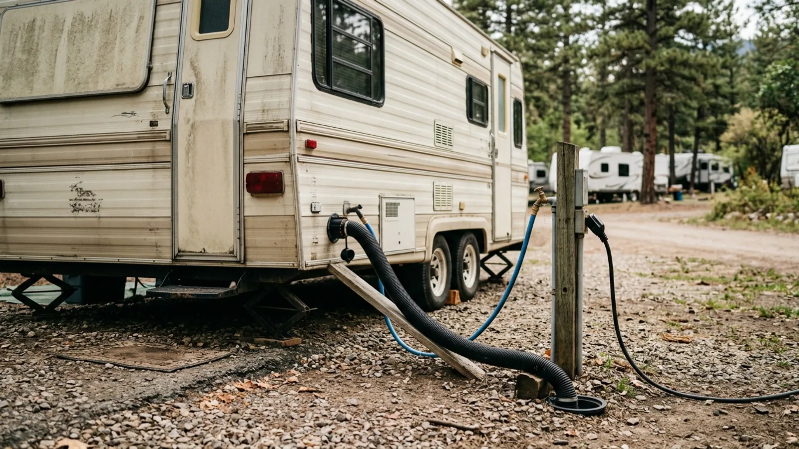 RV & Camper Understanding Full RV Hookups: What They Are and How to Use Them 4 min read
 -
 RV & Camper Full-Time RV Living: A Practical Guide for Beginners 7 min read
 -
 Shelter & Sleep Fun Things to Do When Camping: A Complete Activity Guide 5 min read
 -
 Overlanding Using GPS Navigation Apps for Overlanding and Off-Road Trips 5 min read
Sources: Wikimedia Commons / editorial, State agency · updated 2026-09-12