
Mount Tamalpais State Park
State Park · California · California Department of Parks and Recreation
- 43.2 mi of trails
- Camping
- Cabins
- 6,407 acres
Plan your visit
Trails & hiking
43.2 mi of maintained trail measured from the agency's own trail mapping
Camping
6 mapped camping locations
Camping · Equestrian Camping · Group Camping · Primitive Camping
Site types & reservations: see the official site.
Cabins & lodging
11 cabins
Cabin · Lodging
Availability & booking: see the official site.
Know before you go
- Address
- 801 Panoramic Highway, Mill Valley, CA, 94941
- Official site
- www.parks.ca.gov
- Managed by
- California Department of Parks and Recreation
Getting there
801 Panoramic Highway, Mill Valley, CA, 94941
Directions on Google Maps (opens in a new tab) →Things to do
Activities & features: Day Use · Historic Feature · Museum · Picnic Area · Visitor Center
Photos


Nearby parks


.jpg)

Parks of California
280 parks mapped in California
You're looking at Mount Tamalpais State Park — the gold marker.
Every dot is a park. Tap one to jump to it.
Browse all California parks →Guides for the trip
All guides →-
 RV & Camper How Long Do RV Tires Last? A Guide to Lifespan, Age, and Replacement 4 min read
 -
 RV & Camper How Long Do RV Tires Last? Lifespan, Warning Signs, and Care Tips 4 min read
 -
 RV & Camper How Long Do Travel Trailer Tires Last, and How to Make Them Last Longer 4 min read
 -
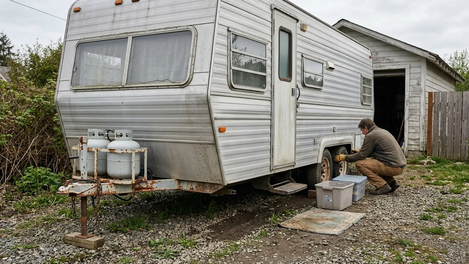 RV & Camper How Long Do Travel Trailers Last? Lifespan, Wear Points, and Maintenance 5 min read
Sources: State agency, Wikimedia Commons / editorial, USGS PAD-US · updated 2026-09-12